


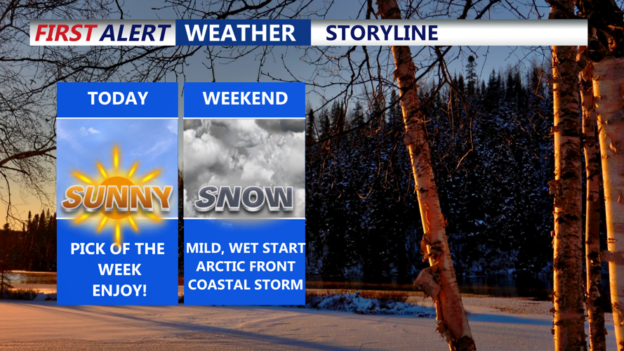


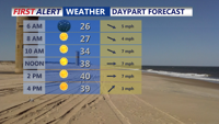


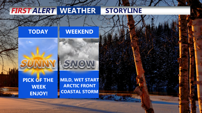
DELMARVA -- Wall-to-wall sunshine today will offer a brief reprieve from the bitter cold, with highs near 40 degrees. However, a major weather shift is on the horizon as two systems promise to impact the region this weekend and early next week.

Wall-to-wall sunshine today
A warm front will lift north on Saturday, bringing milder temperatures and light rain to Delmarva. Highs will range from the mid to upper 40s, with rainfall amounts generally less than a tenth of an inch. By Saturday evening, the rain will clear as a strong arctic cold front approaches, ushering in frigid conditions.
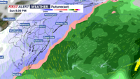
Sunday will bring another winter weather event as the arctic front sweeps through in the morning. A developing low-pressure system will ride the boundary along the Carolina coastline, potentially bringing accumulating snowfall to the region Sunday afternoon and evening. Current forecasts suggest 1 to 2 inches of snow, with a brief period of sleet or rain possible along the coast before transitioning to all snow. The system will be quick-moving, with most of the precipitation occurring within four to six hours.

A round of accumulating snow is possible Sunday night.
Uncertainty remains about the storm's track, which will determine snowfall amounts. A track closer to the coast could bring heavier snow to inland areas, while a more southerly track would limit significant snowfall to the immediate coast.
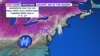
In the wake of Sunday’s system, Delmarva will experience its coldest air mass of the season. Canadian high pressure will dominate from Monday through midweek, plunging temperatures into the teens during the day and single digits at night. Wind chills will dip into subzero territory.

Subzero wind chills are likely next Tuesday-Wednesday.
The extreme cold poses risks to people, animals, and infrastructure. Prolonged exposure could lead to hypothermia or frostbite, while freezing pipes and increased heating demands could strain resources. You can prepare by insulating pipes, securing adequate heating supplies, and ensuring pets have proper shelter.
The dangerously cold conditions are expected to persist through Wednesday, with a slight chance for light snow Tuesday night as a system brushes the region offshore.
