


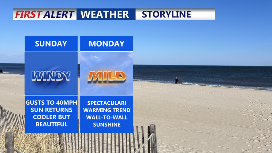


DELMARVA -- High pressure begins to build across the region Sunday, bringing drier and cooler conditions to Delmarva.

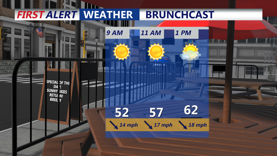
Plenty of sunshine to start Sunday morning, with breezy conditions.
A gusty northwest wind, with gusts up to 40 mph, will continue throughout the day.

Gusts out of the northwest to 40mph Sunday afternoon.
Skies will remain mostly sunny, with high temperatures ranging between 64 and 70 degrees. Tree pollen levels, especially from maple, ash, birch, and oak, are expected to stay high, so allergy sufferers should remain cautious.
Clear skies and calming conditions are forecast for Sunday night, with overnight lows dipping into the 40s. By Monday, high pressure will be centered to the south, providing sunny skies and much lighter northwest winds around 10–15 mph. High temperatures will climb into the low to mid-70s.
On Monday night, as the high shifts off the coast, winds will turn south-southwest, helping to keep overnight temperatures a few degrees warmer, ranging from the mid-40s to low 50s. Skies will remain mostly clear.
Tuesday will bring an increase in cloud cover as the next weather system approaches from the west. Most of the area is expected to stay dry during the day, though a slight chance of a shower exists, mainly well north of Delmarva. Highs will continue to rise, reaching into the mid-70s to near 80 degrees inland, while coastal areas remain cooler in the 60s.
Tuesday Night Through Saturday: A warm front will lift north of the region Tuesday night, followed by a cold front crossing the area Wednesday. Some scattered showers and a few rumbles of thunder are possible Tuesday night with the warm front. However, the cold front on Wednesday appears to have limited moisture, and much of the day may stay dry. Behind the front, breezy west-northwest winds could gust up to 25 mph. Highs Wednesday will range from the 70s and 80s inland to 60s along the coast.
Thursday will see high pressure briefly return, maintaining mostly dry conditions before another system approaches late Thursday into Friday. Some showers could develop Thursday night, although thunderstorm chances remain uncertain.
By Friday and into Saturday, an upper-level trough and surface cold front will push through the region, bringing a better chance for showers and possibly a few thunderstorms. Temperatures are forecast to rise into the 70s to near 80 degrees Friday before cooling back into the 60s and 70s Saturday in the wake of the front.
