


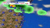

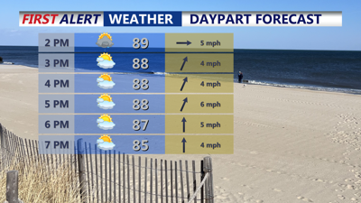
DELMARVA -- A weak cold front will stall over Delmarva Sunday afternoon, dividing the region into two different weather setups. Areas north of the front will enjoy mostly sunny skies, while southern counties remain partly sunny with periods of clouds and the chance for isolated to scattered showers or thunderstorms, especially into the evening. Temperatures across the peninsula will soar into the upper 80s and low 90s, and combined with high humidity, heat index values could climb as high as 104 degrees in interior locations.

Pop-up showers and downpours on Delmarva through Sunday evening, everyone won't see the rain.
Any showers or storms lingering over southern Delmarva will gradually taper off overnight. Conditions will stay muggy, with lows settling into the mid to upper 60s across northern zones and low 70s farther south.
The stalled front will begin lifting back north as a warm front during the day Monday. An upper-level trough moving out of the Midwest will help enhance moisture and instability. Scattered showers and thunderstorms are possible with the greatest coverage (40–60%) across southern and western Delmarva. Temperatures will again approach 90 degrees, and with dew points rising, it will feel oppressive at times. Monday night will remain warm and humid, with lows in the mid to upper 70s.
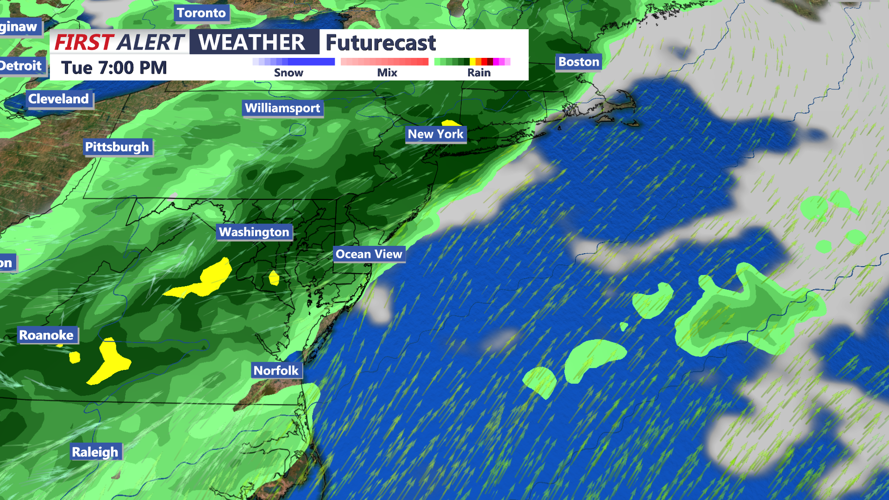
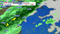
Tuesday brings the highest chance for impactful weather. The upper-level trough is forecast to deepen over the Northeast and Mid-Atlantic, sending a stronger cold front into the region by late day. As this front approaches, moderate instability and increasing wind shear could combine to produce strong to severe thunderstorms capable of damaging winds during the afternoon and evening hours. Highs will range from the mid-80s to around 90 degrees, depending on the extent of cloud cover and when storms develop. This will be the day to watch closely for severe weather potential.

Strong cold front pushes through Tuesday afternoon-evening could bring strong to severe storms to the peninsula.
By midnight, the cold front is expected to sweep offshore, ending most shower and thunderstorm activity. Overnight lows will drop a few degrees cooler, with readings in the upper 60s to low 70s.
Wednesday and Thursday will feel noticeably less oppressive as drier air moves in behind the cold front. While daytime temperatures will remain seasonably warm in the 80s, dew points will dip into the 60s, bringing more comfortable conditions. With limited moisture and high pressure building closer, any shower chances look minimal.
As high pressure becomes more established over Delmarva Friday, a stretch of quiet, pleasant summer weather is expected. Temperatures will remain in the 80s, with lower humidity and mainly clear skies setting the stage for a great start to the Fourth of July weekend. Forecast models suggest the nice weather could continue into the holiday itself and beyond.
