



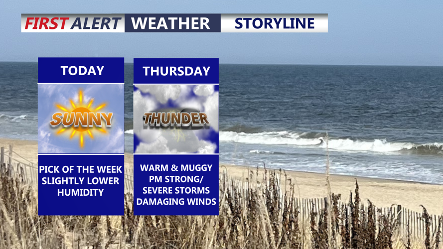

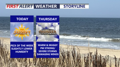
DELMARVA -- After morning clouds, weak high pressure will bring a brighter and more comfortable day across Delmarva on Wednesday, offering a break from the recent stretch of oppressive humidity.

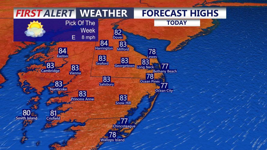
Beautiful day on the coast, highs at the beaches in the mid to upper 70s, low to mid 80s inland.
Skies will turn mostly sunny through the day, with slightly cooler temperatures and an east wind around 5 to 15 mph. Highs will reach the mid- to upper 70s at the beaches, while inland communities climb into the low to mid-80s. Humidity will still be noticeable, but it will not feel as stifling as recent days.
Partly cloudy skies are expected Wednesday night, with temperatures falling into the upper 60s to low 70s. A few isolated showers could develop by daybreak Thursday as moisture begins to return to the region.

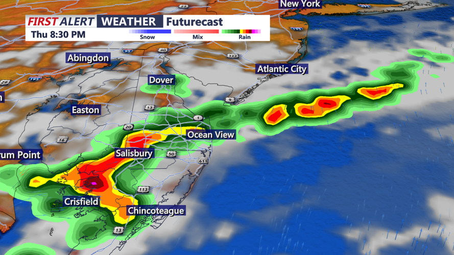
Scattered strong to severe storms are possible Thursday afternoon-evening.
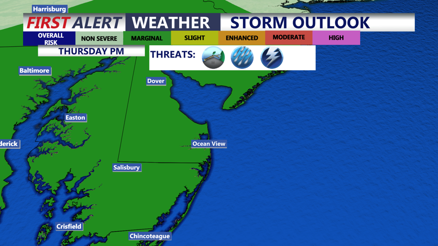
The weather turns more unsettled Thursday as showers and thunderstorms become more widespread through the afternoon and evening. Increasing humidity, warmer air and deep moisture will allow storms to produce heavy downpours. Highs in the mid to upper 80s. The Storm Prediction Center has the entire area under a MARGINAL (1 of 5) severe risk Thursday afternoon-evening. Any severe storm could bring damaging wind gusts, and repeated downpours may lead to poor drainage flooding or isolated flash flooding.

MARGINAL (1 of 5) risk for severe storms Thursday afternoon-evening, damaging winds & flash flooding are the primary threats.
Another round of showers and thunderstorms is expected Friday as a cold front moves southward into Delmarva. Heavy rain and flash flooding will again be possible, and some storms may become strong to severe, with damaging winds the main concern. Friday will also feel hotter and more humid, with many areas near 90 degrees and heat index values peaking in the mid-90s to low 100s.
Some scattered showers and thunderstorms may linger into Saturday, especially if the front moves through more slowly. Highs will stay mainly in the 80s, with humidity beginning to ease. By Sunday, drier weather should return with seasonable temperatures, more comfortable humidity and partly to mostly sunny skies across Delmarva. By next week another heatwave could be brewing, but not as extreme as our previous stretch of heat and humidity.
