




DELMARVA - A cool and quiet weather pattern will continue across Sussex County late Tuesday evening into Wednesday, with high pressure keeping skies mainly clear and significant weather hazards out of the forecast.
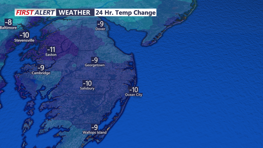
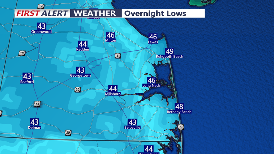
Temperatures will fall quickly Tuesday night as winds become light and skies remain mostly clear. The setup will promote strong radiational cooling, allowing overnight temperatures to drop into the 40s across much of Sussex County. Some of the normally colder inland locations could fall even lower by early Wednesday morning.
While frost advisories are in effect farther north in parts of Pennsylvania and New Jersey, no frost advisory is currently posted for Sussex County, Delaware.
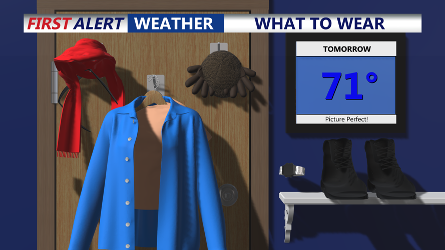
Wednesday will feature mostly sunny skies and moderating temperatures as winds gradually shift to the southwest. The southwest flow will begin bringing milder air back into southern Delaware, with a noticeable warming trend continuing into Thursday.
Winds Wednesday will generally be light early before increasing from the southwest to around 5 to 10 mph during the day.
Conditions along the Delaware coast will also remain generally quiet, although southwest winds over the coastal waters are expected to strengthen late Wednesday. Marine winds could reach roughly 17 to 23 mph, with some gusts approaching 29 mph by late Wednesday into Wednesday night. Those conditions may approach Small Craft Advisory criteria, but no advisory has been issued at this time.
High pressure is expected to remain the dominant weather feature through much of the week. A dry cold front is forecast to cross the region late Thursday, followed by another area of high pressure Friday and Saturday.
Forecasters are also watching the next storm system for later in the weekend. Rain could arrive as early as Sunday afternoon, although some forecast guidance holds the rain off until Sunday night or Monday. The system could contain substantial moisture, potentially producing periods of heavy rain and rainfall totals of 1 to 2 inches in some areas.
