



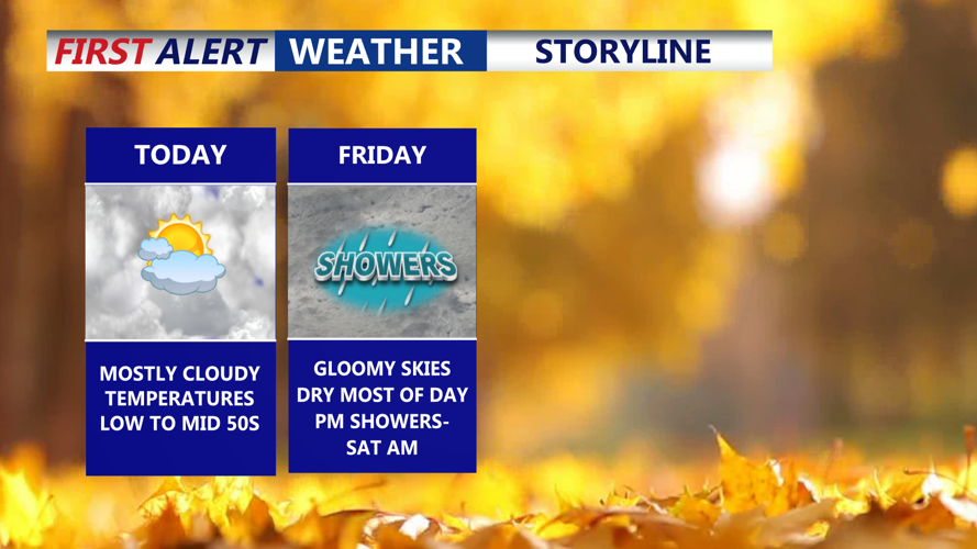

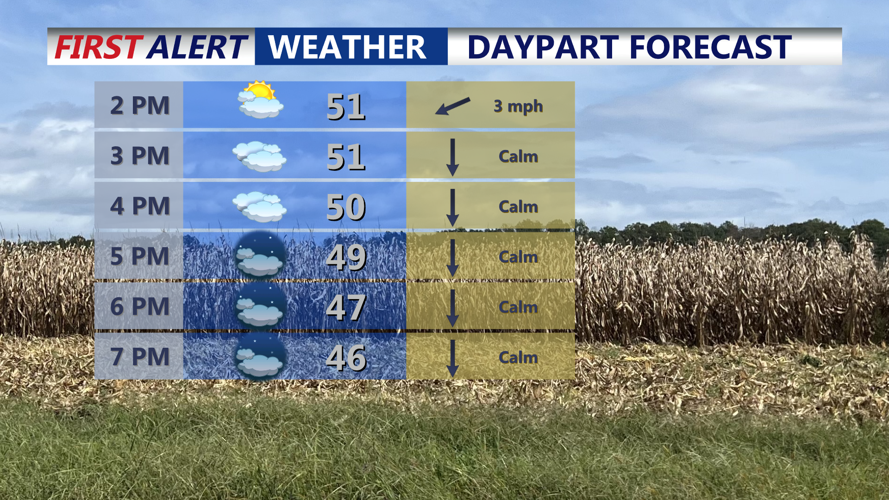

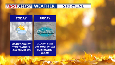
DELMARVA - High pressure remains in control across Delmarva today, keeping conditions quiet but mostly cloudy. Expect mostly cloudy skies to linger through the afternoon with temperatures ranging from the low 50s to mid-50s. Winds will stay light out of the east, and no precipitation is expected.

Mostly cloudy skies, highs in the low to mid 50s, falling into the 40s through the evening.
Tonight, clouds thicken further as lower-level moisture filters in. Overnight lows will settle into the low to mid-40s with calm winds continuing.
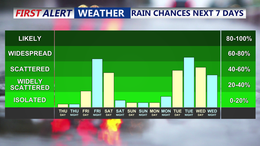
Another weak wave of low pressure approaches Friday, keeping skies cloudy. While most of the day stays dry, warm-advection rainfall is expected to develop by evening. Highs will climb into the upper 50s to lower 60s despite the cloud cover.

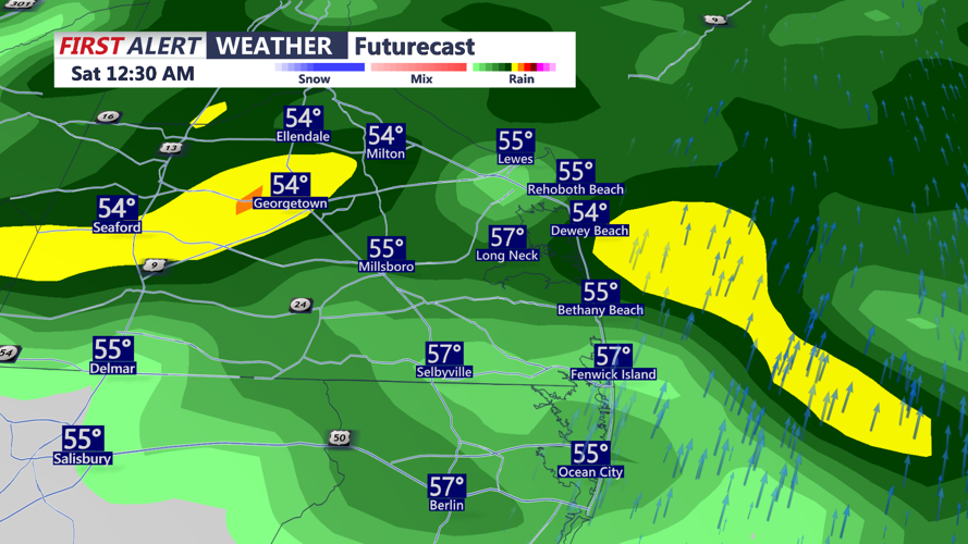
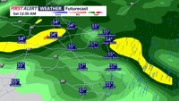
Showers develop Friday night into Saturday morning.
Light rain spreads across the region Friday night as the system moves directly toward the area. Lows will hold in the upper 40s to low 50s. The wave moves offshore early Saturday, allowing any lingering showers to end early. Clouds will gradually break for some late-day sun as a cold front drops southward. Highs Saturday will be near seasonal averages in the mid to upper 50s.

Showers develop Friday night - Saturday morning, a cold front brings rain middle of next week.
High pressure builds back in Saturday night and dominates through Monday, bringing colder nights and seasonable days. A noticeable push of cold air arrives Saturday night into Sunday, with lows dipping into the low to mid-30s. Mostly sunny skies Sunday with highs Sunday remain in the mid to upper 50s, with Sunday night again falling into the 30s. Monday looks similar, with highs near 60 and another chilly night ahead.
By Tuesday, the next storm system approaches from the Midwest. Rain timing remains uncertain, but most guidance brings it in by Tuesday night. Highs Tuesday may reach slightly above Monday’s if the rain holds off, with a milder, wetter night ahead—lows mostly in the 40s and near 50 along the coast and in southern Delaware.
Forecast confidence decreases heading into Wednesday as models diverge on a follow-up system.
Thanksgiving currently looks dry and seasonable, with partly sunny skies and highs in the mid-50s. A sharp change follows Friday as colder air pours into the East, dropping highs into the 40s with a blustery feel. Early hints suggest the potential for rain or even a rain–snow mix sometime next weekend, though details remain highly uncertain.
