


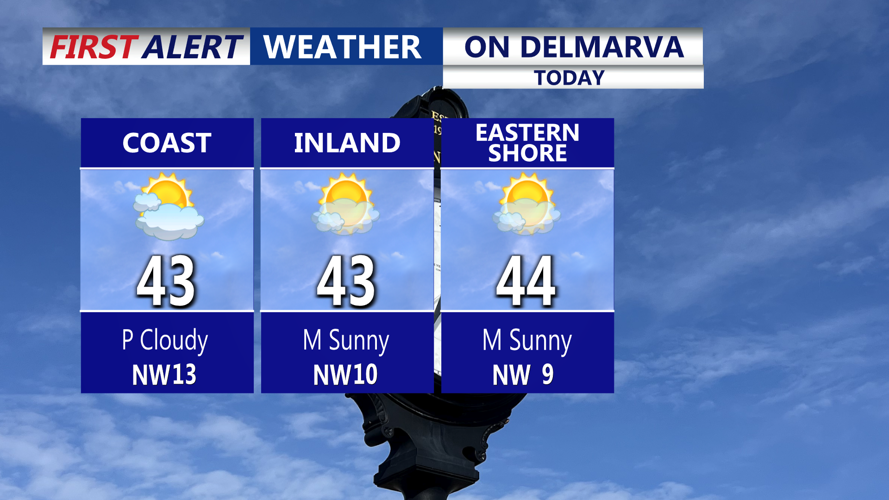
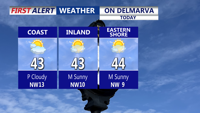


DELMARVA -- High pressure building in from the southwest delivers a dry, mostly sunny day across Delmarva. Afternoon highs reach the low 40s, and winds ease through the day as the center of high pressure drifts south of the region. Tonight mainly clear and cold. Lows fall into the upper 20s to low 30s.

Mostly sunny skies, not as breezy with highs in the low 40s.
A strong cold front pushes through during the day Thursday, bringing gusty winds and a much colder airmass. The front appears dry, with only partly cloudy skies. Highs reach the mid-40s. Behind the front, temperatures drop sharply Thursday night with lows in the teens to low 20s and wind chills in the teens.

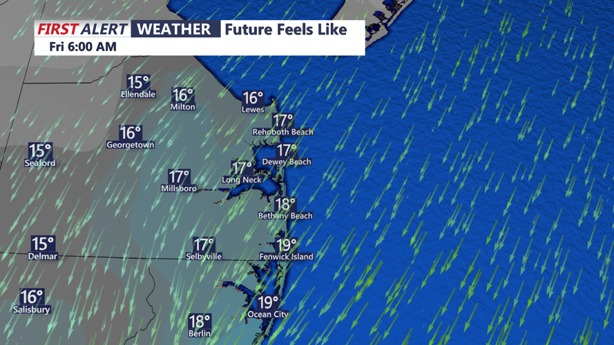
Wind chills in the teens come Friday morning on Delmarva.
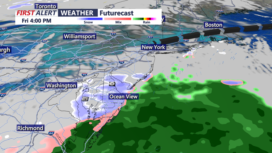
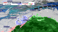
Cold high pressure sits over Delmarva to start the day. A fast-moving disturbance approaches later Friday and Friday night. While the system appears weak and moisture-limited, some light snow or a wintry mix is possible. With even some light accumulations. Current guidance suggests only light snowfall potential. Highs range from the mid to upper upper 30s.
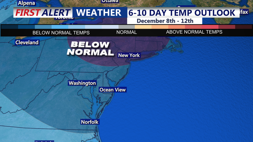
Low pressure passes to the south and east early, and conditions turn milder behind the system into Saturday and Sunday. Highs moderate but remain below average for early December. Mid 40s. Another cold front passes through the region Sunday night.

Well below average temperatures continue through the second week of December.
A broad upper-level trough shifts across the East, bringing colder temperatures Sunday night through Tuesday. Early next week looks particularly cold.