


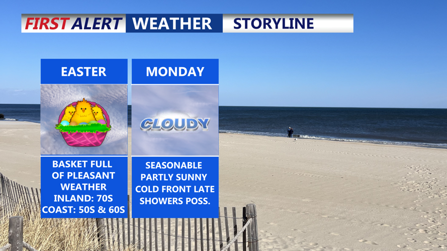


DELMARVA -- Happy Easter! Fair and breezy conditions on Easter Sunday as high pressure builds in from the northwest. Skies will be mostly sunny, although some mid-level clouds may appear in the afternoon. Temperatures will vary across the region, with highs reaching the low to mid 70s inland, and across parts of the Eastern Shore of Maryland, and upper 50s along the coast. North winds will blow at 10 to 20 mph, with gusts up to 30 mph.

Temperatures will run about 10 to 15 degrees cooler than from where they were on Saturday.
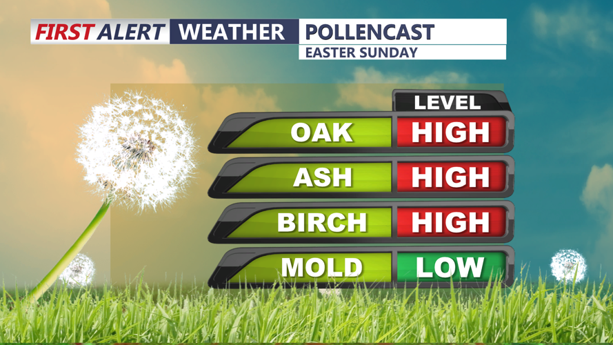
Tree pollen will remain quite high through the rest of the weekend and start of next week.

Tree pollen remains very high on Delmarva.
Sunday night remains quiet under continued high pressure. A weak easterly flow may produce areas of low clouds, mist or drizzle during the overnight hours. Lows will fall into the 50s across much of the peninsula.
On Monday, the high shifts east, and southeasterly flow will keep the region cool. Low clouds may persist through part of the day. Highs will range from the low 70s across Maryland's Eastern Shore to the 60s elsewhere, with coastal zones remaining in the 50s.
A cold front will approach from the west Monday night. As onshore flow continues, atmospheric instability is expected to diminish, limiting any thunderstorm potential. Most of the shower activity should stay well to the north, with only slight chances of rain in southern Delaware. Overnight lows will be near 60 in central Delmarva and in the 50s elsewhere.

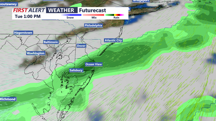
Cold front pushes through late Monday-Tuesday bring a chance for showers Tuesday morning.
The front passes through on Tuesday, helping to clear out any lingering marine influence. This will lead to a noticeable warm-up, with temperatures climbing into the 70s to near 80 degrees.
High pressure builds again from the west Tuesday night, bringing partial clearing and lows in the 50s. Wednesday continues the trend of dry and warm weather, with plenty of sunshine and highs in the low 70s. Quiet conditions hold steady Wednesday night with lows dropping to the upper 40s and low 50s.
By Thursday, the high shifts just east of the region. Temperatures will warm slightly, with highs in the mid to upper 70s inland and 60s near the coast. A new low-pressure system begins to approach from the west Thursday night, with only a slight chance of showers expected at that time.
Rain chances begin to increase Friday as southwesterly flow pulls moisture into the region ahead of the system. Temperatures will remain warm, but increasing cloud cover and any showers may limit daytime heating. Highs will generally stay in the mid-70s, with coastal areas again cooler in the 60s.
The front may stall near the region Friday night into Saturday, keeping scattered showers in the forecast to start the weekend. Lows remain in the 50s, with daytime highs near 70.
