


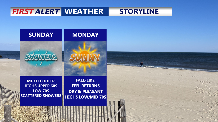


DELMARVA -- After days of heat and humidity, will see a cooler and unsettled Sunday as a slow-moving front stalls across the region.

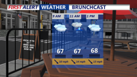
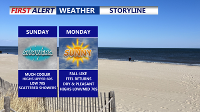
Cloud damp start to our Sunday with scattered showers around, much cooler in the 60s.
The boundary, along with a weak low pressure system, is expected to keep clouds and scattered showers in place for much of the day. With limited sunshine and cooler air filtering in, afternoon highs will only reach the low to mid-70s. Showers should taper off by late in the day as the front gradually departs.

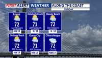
Highs Sunday will be in the upper 60s to low 70s with a lot of clouds especially during the morning.
By Sunday night, dry and more comfortable conditions take hold. Lows will settle into the low to mid-50s as high pressure builds in from the Midwest and Great Lakes.

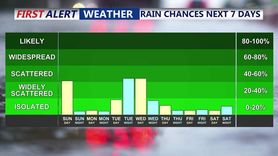
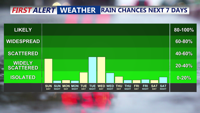
Scattered showers today, with another chance for showers late Tuesday into Wednesday as a coast low passes to our east.
Monday is expected to feature partly sunny skies and seasonable highs in the mid-70s. Clouds may increase again Monday night as a weak coastal low approaches, but dry weather is forecast to continue with lows in the mid-50s.
Tuesday brings partly cloudy skies and highs in the mid-70s, though a few showers could develop Tuesday night if the offshore system tracks closer to the coast. Widespread clouds are likely to linger Wednesday, keeping temperatures in the low 70s, before clearing slowly as the system moves away.
The latter half of the week looks dry and pleasant. Thursday is forecast to be the warmest day of the period, with highs in the low 80s, before another cold front passes through. Cooler, comfortable air is expected to return Friday into the weekend, with high pressure once again in control across the region.
