




DELMARVA - Dangerous beach conditions will continue into Monday evening as a high risk of rip currents affects the Delaware Beaches.
The rip current risk remains in effect until 8 p.m. Monday, with life-threatening conditions possible in the surf. South to southwest winds around 10 to 15 mph, gusts near 20 mph and breaking waves of 2 to 4 feet are expected. Beachgoers are urged to stay out of the water and follow lifeguard guidance.
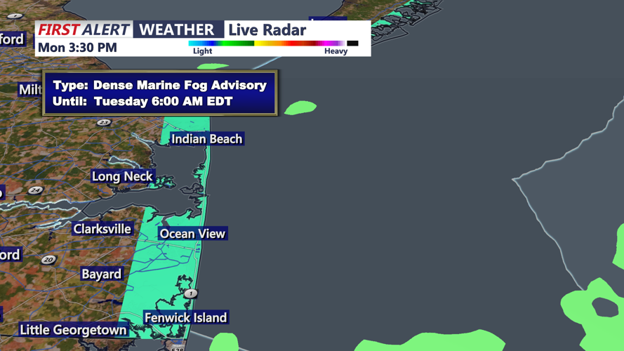
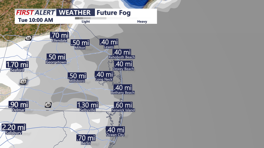
Unsettled weather will continue Monday night as a cold front stalls near the region and low pressure moves along the boundary. Showers are most likely across Delmarva, including Sussex County, especially during the evening. Patchy fog is also expected overnight and could become locally dense.
Conditions should improve somewhat Tuesday as the boundary drifts farther south. A few showers remain possible, but much of the day is expected to be mainly dry with some filtered sunshine. Rain chances will generally range from 10% to 30%.
Highs Tuesday are expected to reach the upper 70s to low 80s, with overnight lows mainly in the 50s and 60s. More unsettled weather may return Wednesday before drier, more seasonable conditions arrive Thursday and continue into the weekend.
