


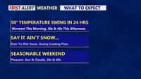


DELMARVA -- Today is delivering an incredible weather whiplash across Delmarva. After record high temperatures were set in places like Georgetown and Salisbury yesterday, much colder air has surged into the region behind a strong cold front, sending temperatures tumbling from springlike warmth into the 30s and 40s.

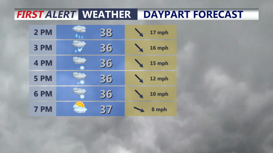
Temperatures falling through the 30s through the afternoon, with rain changing to wet snow.
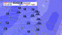
Rain showers this afternoon are expected to mix with and briefly change to wet snow for a two to four hour period late in the day. If a narrow band of heavier precipitation develops, the atmosphere could cool more quickly, allowing the switch to snow to happen faster and fall more intensely for a short time. Even so, with the recent stretch of unusually warm weather and above-freezing daytime temperatures, snow accumulation should remain very limited. A quick slushy coating is possible on grassy and elevated surfaces, but most roads are expected to stay just wet.

Period of wet snow, could come down heavy briefly, coating on grassy surfaces is possible.
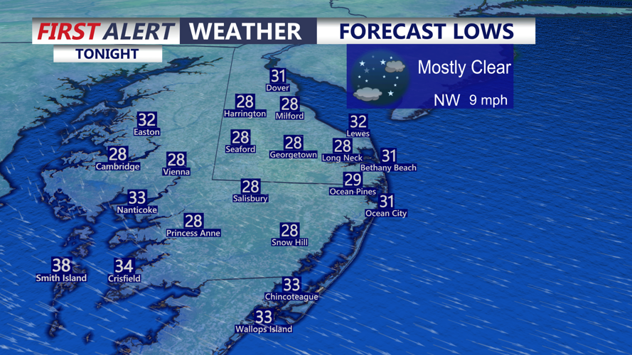
The dramatic cooldown is one of the biggest stories of the day. Some areas started the morning in the 60s and 70s, only to face wet snow by afternoon. That sharp drop is being made even more noticeable by strong winds. Gusts between 30 and 40 mph will make it feel even colder, with wind chills falling into the upper 20s and lower 30s by late afternoon. By tonight, temperatures will likely settle into the upper 20s as winds slowly diminish.

Temperatures falling into the upper 20s to low 30s under mainly clear skies.
