




DELMARVA -- After several days of Arctic high pressure, conditions across Delmarva begin a gradual shift starting today as the high settles over the Southeast and moves offshore.

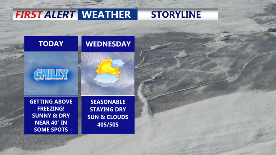
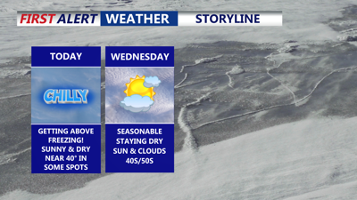
Mostly sunny skies, getting above the freezing mark today.
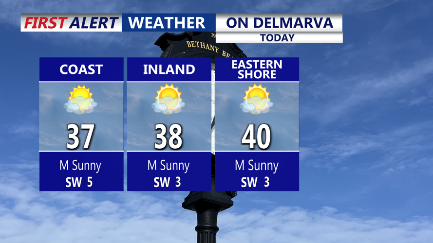
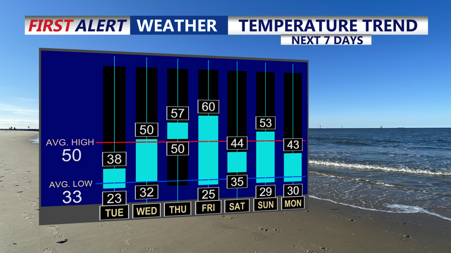
Mostly sunny skies, with winds turning from west to southwest by late day. Temperatures finally climb above freezing, reaching the upper 30s to low 40s. Despite the daytime improvement, clear skies, light winds and lingering snowpack will allow temperatures to drop sharply tonight into the low to mid 20s, with slightly milder readings near the coast.

Milder temperatures mid to late week ahead of a cold front.
Wednesday brings a brief warmup as a weak cold front moves through the region. Skies will be partly sunny with increasing clouds ahead of the front, though conditions are expected to remain mostly dry. Southwest winds will help push highs into the upper 40s to around 50 degrees before winds shift west behind the front. Gusts of 20 to 25 mph are possible through the day.
High pressure briefly returns Wednesday night, allowing temperatures to fall back into the upper teens and low 20s inland, with mid- to upper 20s closer to the coast.

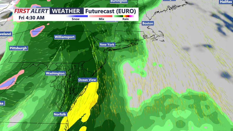
A cold front will bring a soaking rain to the region late Thursday-Friday morning, could see up to an inch of rain.
A stronger system approaches Thursday as high pressure moves offshore and southerly winds increase. Temperatures rise sharply, reaching the upper 50s to near 60 degrees under increasing cloud cover. Rain moves in Thursday night and could be heavy at times, though severe weather chances remain low. Forecast guidance shows rainfall on the order of half an inch to an inch of rain through Friday morning.
A strong cold front sweeps through early Friday, bringing falling temperatures and strong, gusty winds. Gusts could reach 30 to 40 mph. Any lingering rain exits by midday Friday, with colder air settling in behind the front. Temperatures will be in the 50s and 60s during the morning and fall through the 40s and 50s during the afternoon.
High pressure builds in for the weekend, bringing quieter weather Saturday and Sunday. Temperatures trend seasonable Saturday with a possible return to above-normal readings Sunday before another weak front brings cooler air early next week.
