



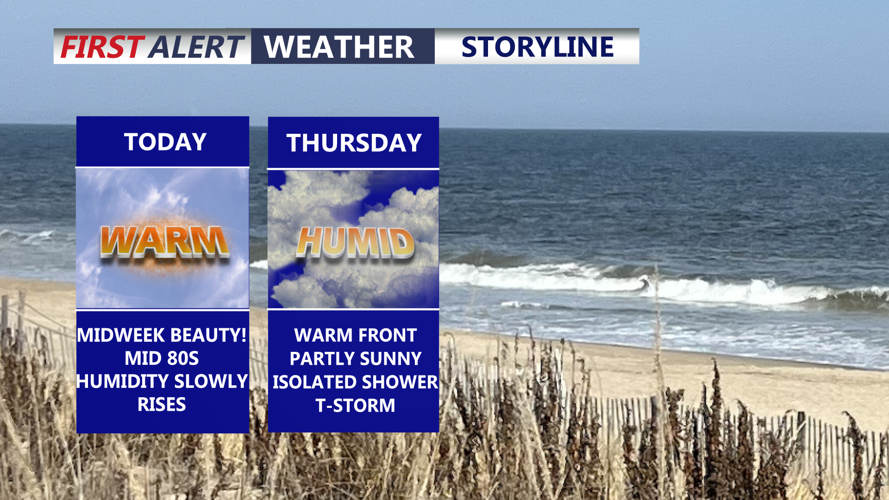
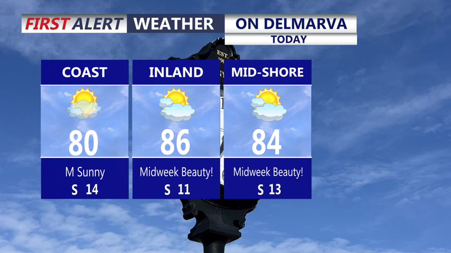

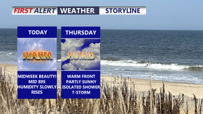
DELMARVA -- A midweek beauty is on tap across the peninsula today, with partly cloudy skies, warm temperatures and relatively comfortable conditions. Afternoon highs will reach the low to mid 80s, with southwest winds at 5 to 10 mph.

Beautiful day on Delmarva, humidity begins to creep up tonight.
Humidity will slowly increase tonight as southerly flow strengthens. Skies will remain partly cloudy, with overnight temperatures falling into the low 70s.

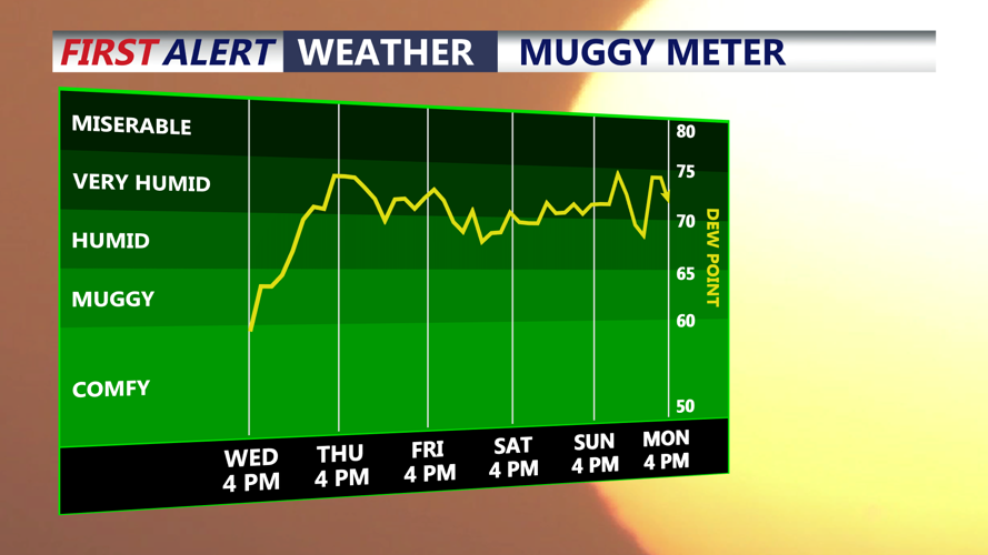
Humidity levels increase through the night and the tropical like area will be with us into the weekend.
A warm front will move through the region Thursday, bringing a noticeable increase in humidity as dew points climb into the low 70s. The day will feature partly sunny skies and warm conditions, with highs reaching the mid to upper 80s.

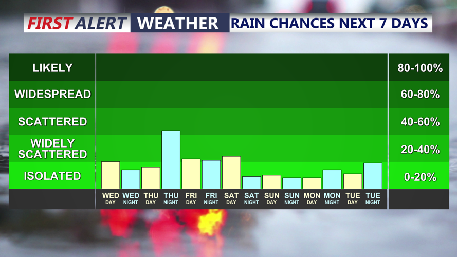
A warm front Thursday will bring the chance of showers, then a cold front Friday will bring a chance for showers and t-storm.
A few showers could develop Thursday morning, particularly across western portions of Delmarva, with additional showers and thunderstorms possible later in the day and into the evening. Most areas will not see severe weather, but some thunderstorms could become stronger, especially from the Easton-to-Dover corridor and points north and west.
Damaging wind gusts would be the primary concern with any stronger storms. Delmarva will also be under a marginal risk for excessive rainfall Thursday, meaning locally heavy downpours could lead to isolated areas of poor drainage or localized flooding.
A cold front is expected to cross Delmarva Friday, bringing another opportunity for showers and thunderstorms. The timing of the front will be important in determining how much instability can develop and whether any stronger storms are able to form.
There remains some uncertainty over whether Friday's front will move through in one push or be followed by a secondary surge of cooler and drier air.
Conditions are expected to improve for the weekend. Most of Delmarva should be dry Saturday and Sunday, although a few showers or thunderstorms cannot be ruled out across the southern peninsula Saturday. Highs Saturday in the low to mid 80s, upper 80s by Sunday.
By early next week there are signals a heatwave will build into the region with highs in the low to mid 90s from Monday through Wednesday as we flip the calendar over to September.
