



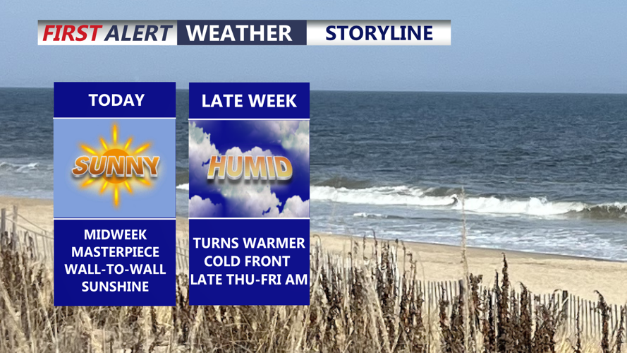
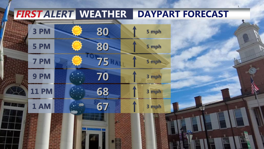

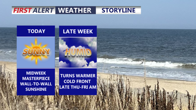
DELMARVA -- It's really a masterpiece of a day on the peninsula, wall to wall sunshine and highs in the upper 70s to low 80s. Humidity levels still comfortable with dew points in the 50s. Winds out of the southeast 5 to 10 mph.

Wall to wall sunshine, highs in the upper 70s to low 80s, south winds 5 to 10 mph.
High pressure will slide east as it does so will see southerly flow return to the region. Tonight expect a pleasant night under mostly clear skies, with lows in the low to mid 60s.

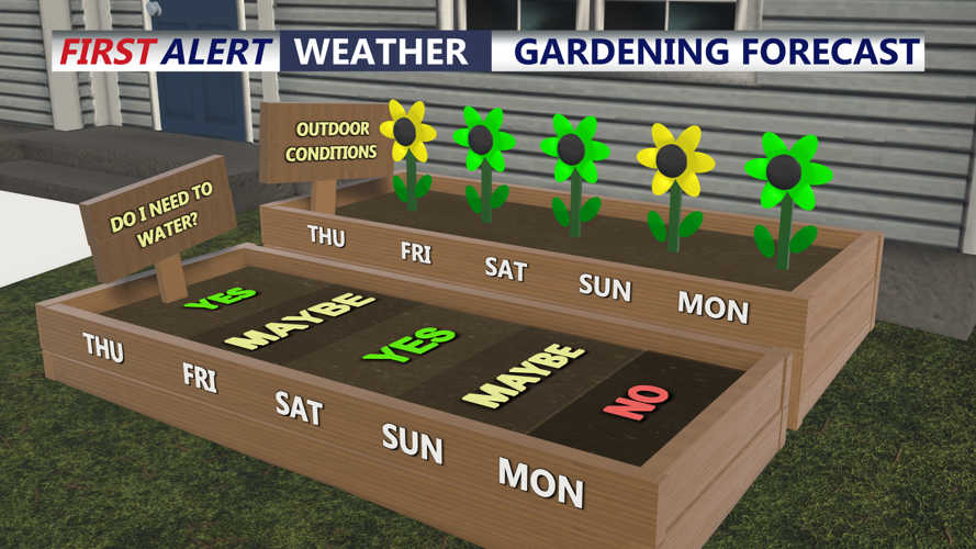
Will need to keep the plants watered, turns unsettled early next week.
Thursday, a warmer day with highs back in the mid to upper 80s under partly cloudy skies, humidity start to creep up. A weak cold front will approach late in the day through Friday morning. Most of the shower and thunderstorms will stay to our north and west. Can't rule out a stray shower or sprinkle late Thursday night into Friday morning.

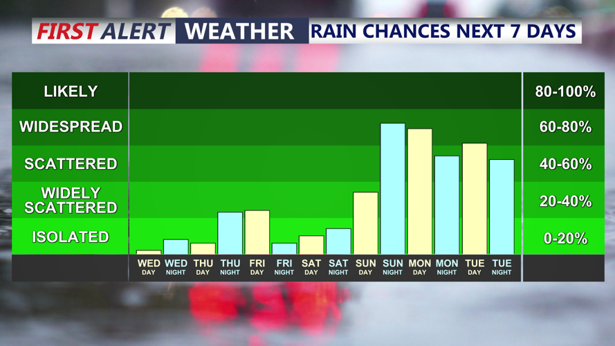
Isolated sprinkle/shower possible Friday morning, otherwise dry through late in the weekend. Stalled front could bring multiple rounds of rain early next week.
Friday will be a warm humid day, with morning clouds and a sprinkle, otherwise a nice afternoon. Partly cloudy skies, winds will shift out of the northeast, highs in the low to mid 80s.
The weekend will start off on a cool note under partly cloudy skies and highs in the mid to upper 70s, a warm front will lift through late Saturday into Sunday pulling humidity back into the region. Highs Sunday back into the low 80s, with a chance of showers and a t-storm late in the day.
The front will stall out over the region early next week. Meaning multiple rounds of showers and storms are expected Monday and Tuesday, it will be tropical with humid conditions and highs in the mid 70s. A cold front will sweep through the area by midweek clearing the unsettled weather out. The autumn equinox arrives at 8:05 PM Tuesday.
