


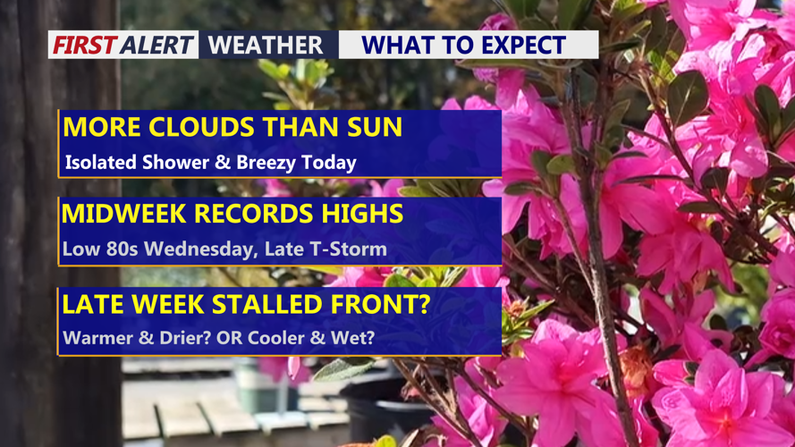
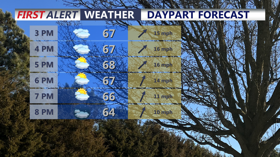
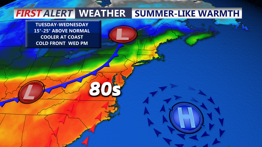


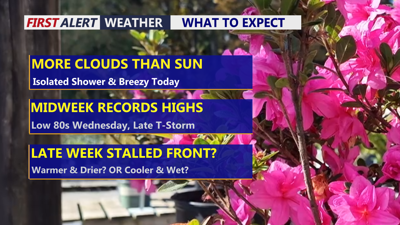
DELMARVA -- Today marks the beginning of a warmer stretch across Delmarva as high pressure slides off the East Coast and a warm front gradually lifts north through the region. The day will feature a partly sunny and breezy sky, with just a few isolated showers possible early on. Afternoon temperatures will climb into the upper 60s to near 70 degrees, offering a mild start to the week.

Partly sunny and breezy afternoon, mild evening ahead with temperatures falling into the low to mid 60s.
Tonight stays unusually mild as the warm front continues moving through. Skies will be partly cloudy, and overnight lows will only fall into the mid to upper 50s.

Temperatures rising into the low 80s, humidity levels increase through midweek.
By Tuesday, Delmarva turns even warmer under mostly sunny skies. Highs will rise to around 80 degrees, while southwest winds gust up to 25 miles per hour. Humidity will also begin increasing Tuesday night and continue into Wednesday.
Wednesday looks to be the warmest day of the stretch, with partly cloudy skies and inland highs reaching the low to mid 80s. That could put record highs in jeopardy, especially in Georgetown, where the record is 80 degrees set in 1979, and in Salisbury, where the record is 83 degrees set in 1978. Beaches and coastal communities will stay cooler, with highs mainly in the 60s and 70s.
A cold front approaches Wednesday afternoon and evening, bringing the next chance for showers and thunderstorms. Some storms could become briefly strong, but the overall severe weather threat remains low. Forecast guidance shows some instability in the atmosphere, though wind shear appears fairly weak, which should limit the overall risk.

A few gusty thunderstorms are possible Wednesday evening ahead of a cold front.
