


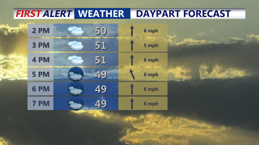


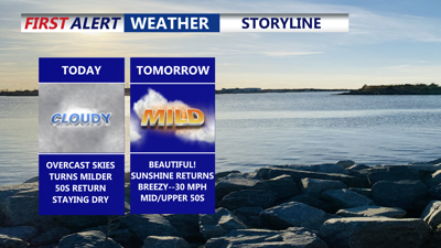
DELMARVA -- Mostly cloudy skies and mild conditions today. Despite limited sunshine, afternoon highs are expected to reach the low 50s across the peninsula.

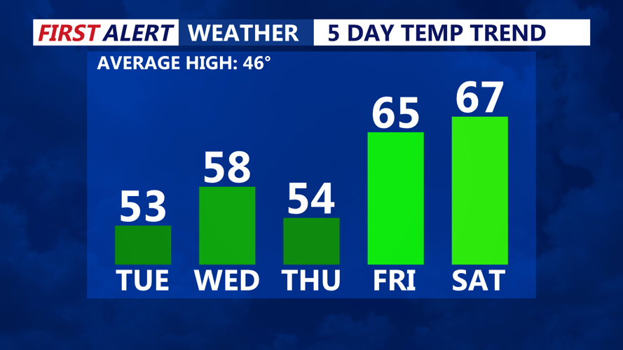
Temperatures will be above average over the next 5 days.
A warm front approaches this evening, increasing low clouds and creating the potential for patchy fog overnight. While the warm front may lift north toward dawn and reduce fog from south to north, confidence in that trend remains low.

Mostly cloudy skies, highs in the low 50s, mild night only falling into the low to mid 40s.
Temperatures are expected to stay steady or slowly rise overnight, with lows closer to daytime readings, generally in the low to mid 40s and remaining above freezing.

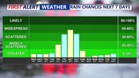
Staying dry through Friday, isolated showers Friday night, better chance for showers Saturday.
Conditions improve Wednesday as low pressure moves toward the Canadian Maritimes and high pressure builds in from the Ohio Valley. That setup will tighten the pressure gradient, leading to gusty winds. Wind gusts are expected to range from 20 to 30 mph during the day before easing Wednesday evening. High temperatures Wednesday climb into the upper 50s to near 60 under mostly sunny skies.
High pressure settles overhead Wednesday night, bringing drier weather and mostly clear skies. Overnight lows fall into the 30s. The high shifts offshore Thursday, allowing clouds to increase again ahead of the next system. Temperatures remain mild, with highs again in the 50s.
By Friday, a more active pattern develops. A warm front lifting north will bring a round of showers and very mild temperatures, with highs ranging from the mid 50s to mid 60s. Additional periods of rain are possible Friday night into Saturday as multiple weather disturbances move through the region. A cold front is expected to cross Delmarva Saturday night, followed by blustery and cooler conditions on Sunday. Early next week looks drier, with temperatures returning closer to seasonal norms as high pressure builds back in.
