



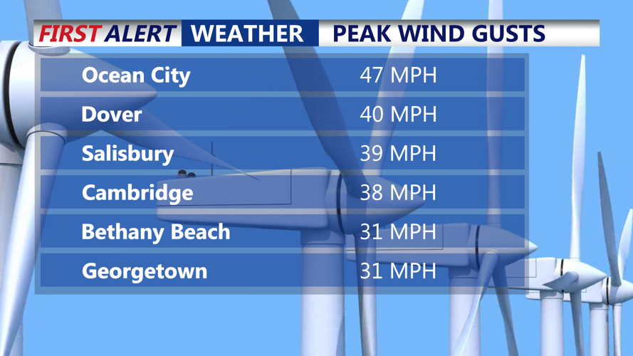

DELMARVA -- Friday night kicks off a changing weather pattern across the Delmarva Peninsula, as gusty northwesterly winds relax and give way to a milder Saturday. We saw gusts Friday reach 45-47 MPH.

Saw gusts to 47 mph on Delmarva Friday.
An upper-level trough lifting northeast and a ridge moving in overnight will help winds diminish considerably, leading to calm conditions and a clear, cold night. Temperatures are expected to drop into the 30s under mostly clear skies, with some high clouds arriving late.
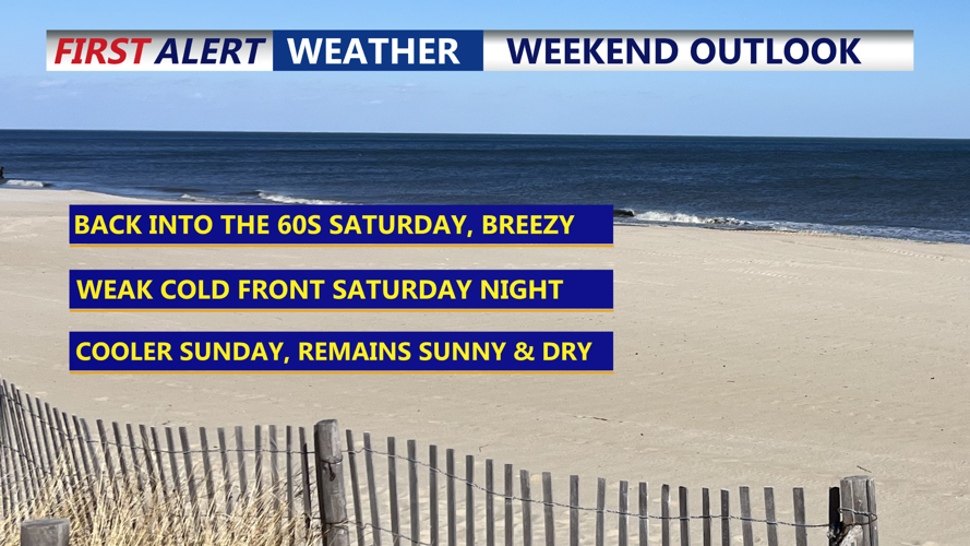
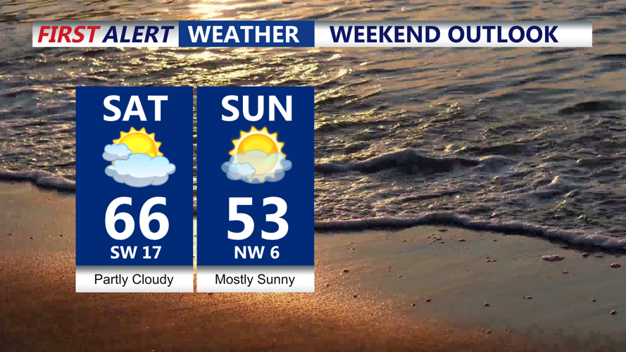
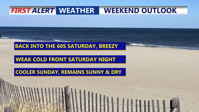
By Saturday, a new upper-level trough swings through the Mid-Atlantic, increasing cloud cover during the afternoon. While the system will lack significant moisture, a few sprinkles or brief showers can't be ruled out. More noticeably, southwest and west winds will ramp up again during the day, with gusts potentially reaching 30 mph. Despite the breeze, high temperatures will climb into the low to mid-60s across the region. Coastal areas may warm more slowly due to winds off the cooler ocean.

Mild Saturday to cooler Sunday
Saturday night turns sharply colder as northwesterly winds usher in a chillier air mass. Lows are expected to fall around 30 degrees, wouldn't surprise me if some areas away from the coast fall into the upper 20s, prompting a reminder for residents to protect sensitive plants—even though the region’s frost and freeze program has not yet officially begun.
Sunday remains dry and cool, with high pressure briefly building in. Expect daytime highs in the upper 40s along the coast to low and mid-50s inland.
Looking ahead to Monday, a stronger weather system arrives from the eastern Great Lakes. The associated cold front will bring increased cloud cover and a period of showers or light rain, as an upper-level trough becomes more established over the East.
