



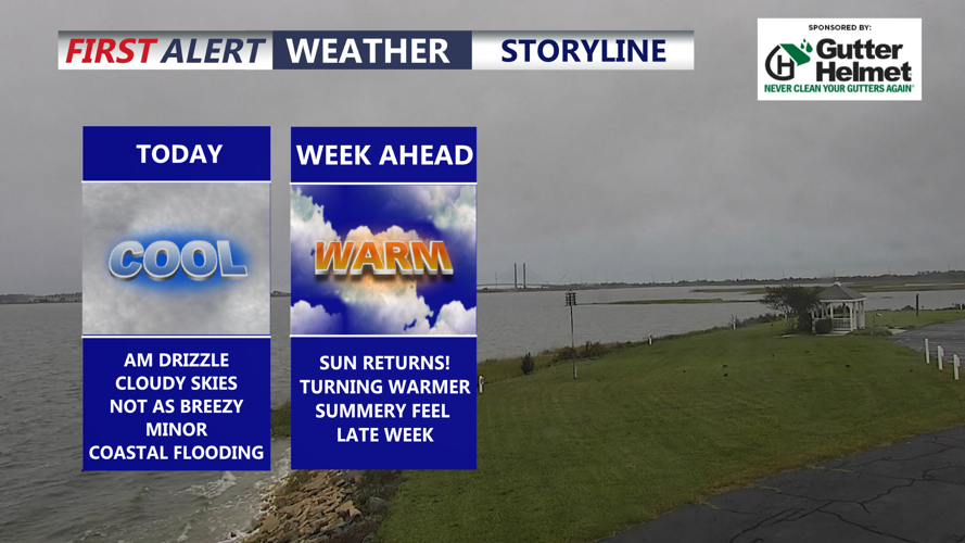

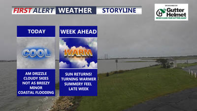
DELMARVA -- The Nor'easter that pounded our coast with wind, coastal flooding beach erosion and rain is FINALLY moving away from the area. High pressure is building in and a warming trend is heading out way.

Cloudy skies, highs in the upper 60s to low 70s.
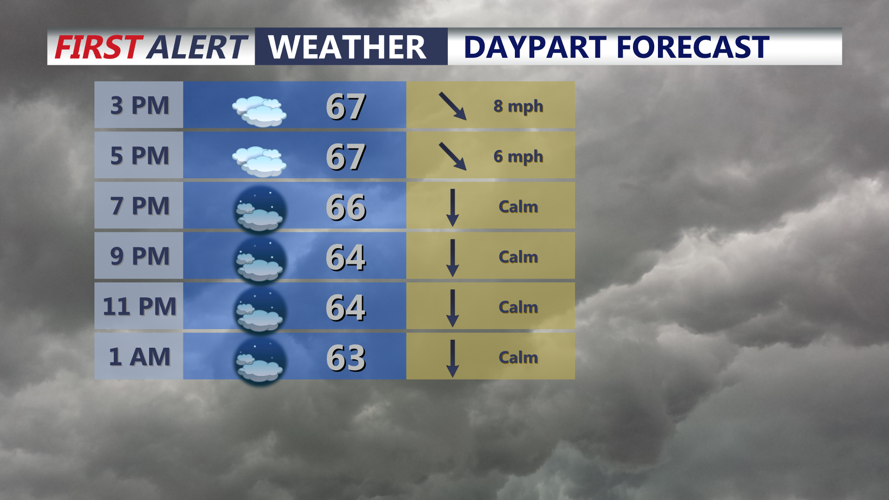
Temperatures will rise into the upper 60s to near 70, some breaks in the clouds are possible especially along the Mid-Shore. Winds will be relatively calm out of the northwest 5 to 10 mph. Some MINOR coastal flooding is still possible through high tide this evening especially along the Chesapeake Bay. Tonight expect mostly cloudy skies as temperatures dip into the upper 50s to low 60s.

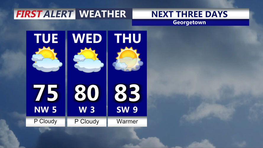
Partly cloudy skies Tuesday as temperatures trend warmer with highs in the mid 70s to low 80s.
High pressure will build in Tuesday through midweek, look for a mix of sun and clouds Tuesday with highs in the low to mid 70s. Drier calmer weather settles into the region.

Summer-like warmth returns by late week.
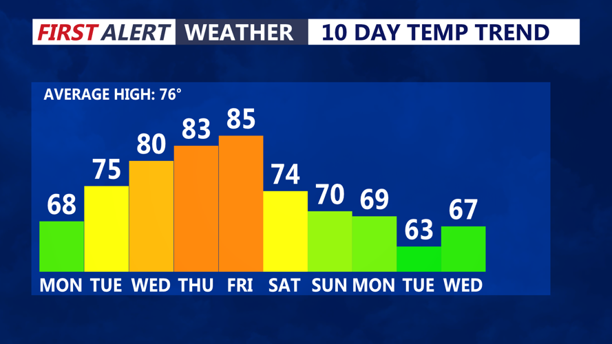
Summer-like warmth returns by late week. Wednesday mostly sunny skies and temperatures rise back to around 80. By Thursday and Friday highs are back into the mid to upper 80s under partly cloudy skies. A cold front will push through late Friday, bringing the chance of a shower/thunderstorm. The front looks rather moisture starved at this point.
Behind the front into the weekend temperatures dip back into the low 70s. The next system could bring widespread rain heading into Sunday. If you have tickets for Country Calling Friday and Saturday in Ocean City, looking nice, warm Friday, cooler Saturday but dry.
