



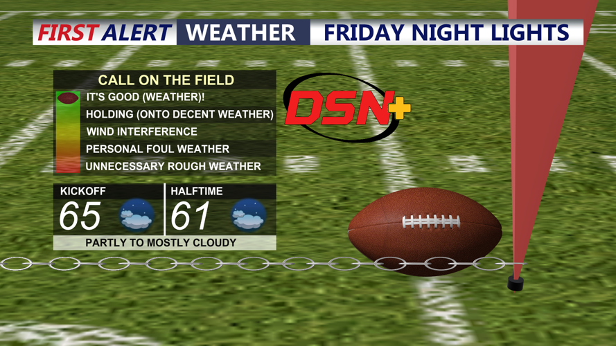


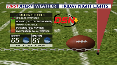
DELMARVA -- A pleasant Friday on Delmarva ahead of yet another unsettled weekend. Highs today in the low to mid 70s, high cirrus clouds will stream into the region, will make for a good sunset this evening. Will be dry and pleasant for football games this evening. Tonight will fall into the mid 50s under partly cloudy skies.
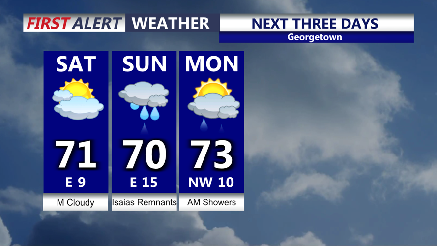
Saturday will feature mostly cloudy skies, cooler temperatures in the upper 60s to low 70s, breezy conditions at the coast with gusts to 25-30 mph out of the east. Clouds will thicken ahead of the the remnants of Isaias.

Cloudy cooler breezy Saturday, heavy rain, wind and t-storms possible Sunday.
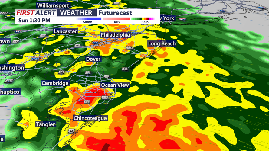
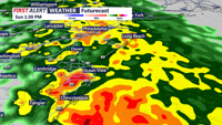
As we head into Sunday morning expect humid conditions, showers will be around especially along the lower shower, the rain will intensify through the afternoon and evening becoming heavy at times.

Rain will be heavy at times Sunday afternoon-evening, embedded thunderstorms that could be isolated severe can't be ruled out.
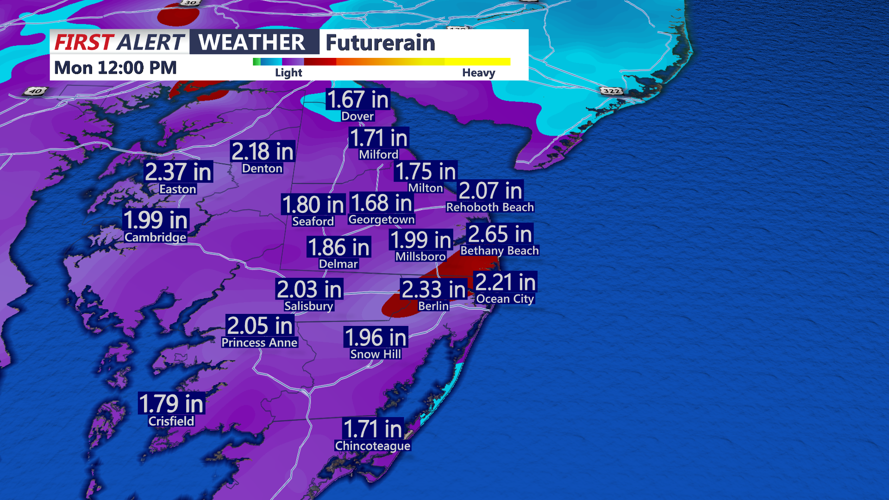
Can't even rule out a few embedded isolated thunderstorms. Some of which could be severe with damaging winds and a brief spin-up tornado. The Storm Prediction Center has the peninsula in a MARGINAL ( 1 of 5 severe risk). Will be keeping a close eye on that threat over the weekend. Rainfall totals from Sunday through Monday morning will be on the order of 1 to 3 inches, some isolated flooding is possible. We do have a MARGINAL risk for excessive rainfall Sunday-Monday.

Rainfall totals from Sunday into Monday morning will be on the order of 1 to 3 inches.
Winds will be picking up out of the east gusting 35 to 45 mph Sunday into Sunday night, some minor tidal flooding is possible and something will have to pay attention too.
Shower linger into Monday morning, skies will clear into Monday afternoon with highs in the low 70s. Turns warmer Tuesday pushing back up to 80 under mostly sunny skies, a cold front will bring cooler temperatures back midweek.
