




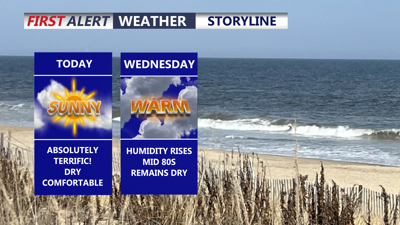
DELMARVA -- High pressure will keep tranquil weather in place across the peninsula today and Wednesday before a cold front brings a chance for showers and thunderstorms late Thursday.

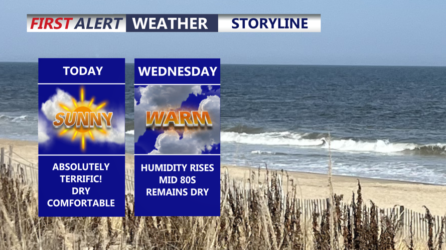
Expect mostly sunny skies and highs in the low 80s with comfortable humidity levels.
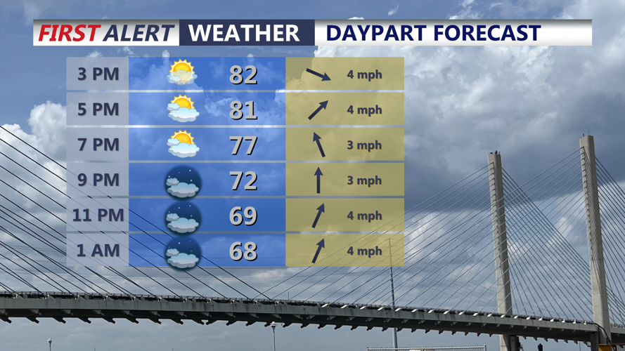
Today will feature mostly sunny skies, mild temperatures and relatively low humidity. Afternoon highs will reach the low to mid 80s across much of Delmarva as high pressure shifts from the Great Lakes and Northeast toward the Mid-Atlantic.

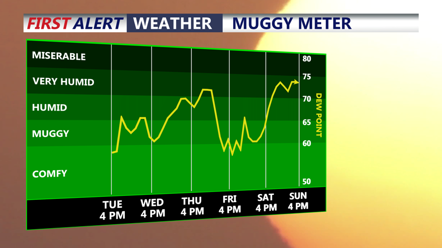
Humidity levels start to creep up into Wednesday.
Clouds will increase somewhat tonight as winds turn light out of the south. The southerly flow will keep temperatures a little warmer overnight, with lows generally falling into the mid 60s.
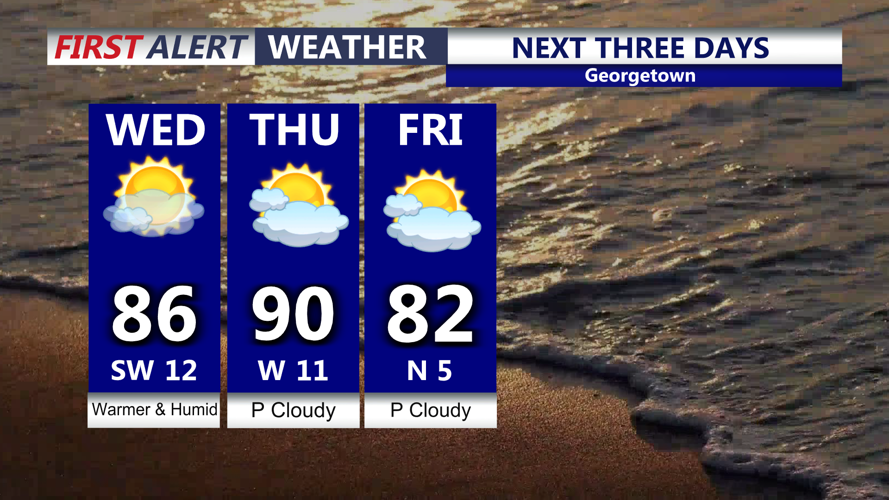
Wednesday will turn warmer and slightly more humid as the pressure gradient strengthens ahead of an approaching cold front. Highs will climb into the mid 80s, while dew points rise into the low to mid 60s. Most of Delmarva should remain dry through the day, with the better chance for showers and thunderstorms staying north and west of the peninsula.

Warming temperatures as we make a run to near 90 Thursday, a cold front arrives late Thursday-Friday.
Conditions become hotter and more humid Thursday, with partly cloudy skies and highs reaching the upper 80s to near 90 degrees. A cold front moving southeast through the region will bring scattered showers and thunderstorms to Delmarva at some point during the day.
The exact timing of the front remains uncertain. If the front arrives later in the day, additional heating could allow the atmosphere to become somewhat more unstable ahead of it. At this point, the overall threat for severe thunderstorms appears low, although an isolated stronger storm cannot be ruled out.
Widespread flooding is also not expected because the front and thunderstorms should continue moving rather than lingering over one location.
Drier and somewhat cooler air is expected to settle across Delmarva behind the front Friday. The weekend forecast remains less certain because the front could stall just south of the peninsula, potentially allowing areas of low pressure to move along it and bring periods of unsettled weather.
