


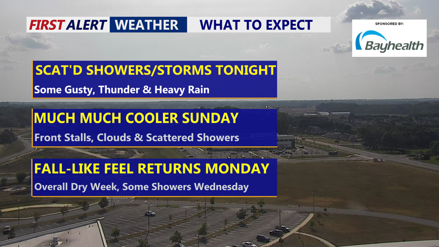


DELMARVA -- After a second day of temperatures soaring above 90 degrees, relief is on the way for Delmarva as a strong cold front sweeps across the region Saturday night.
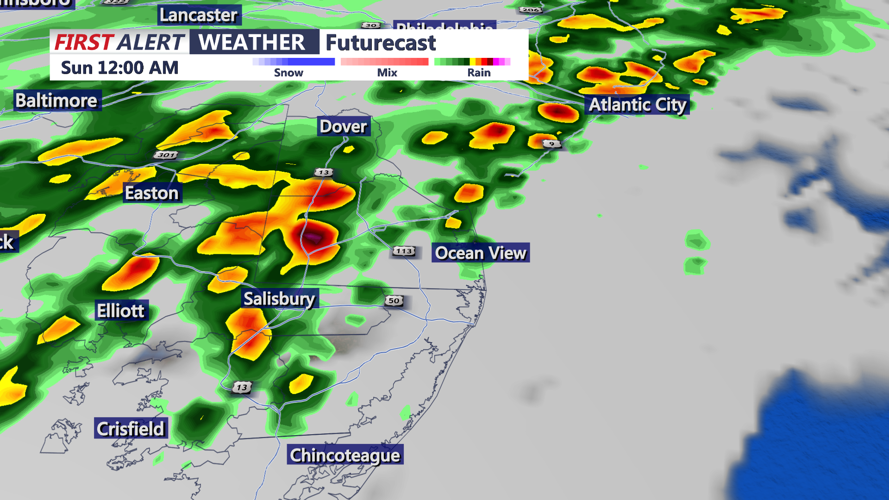
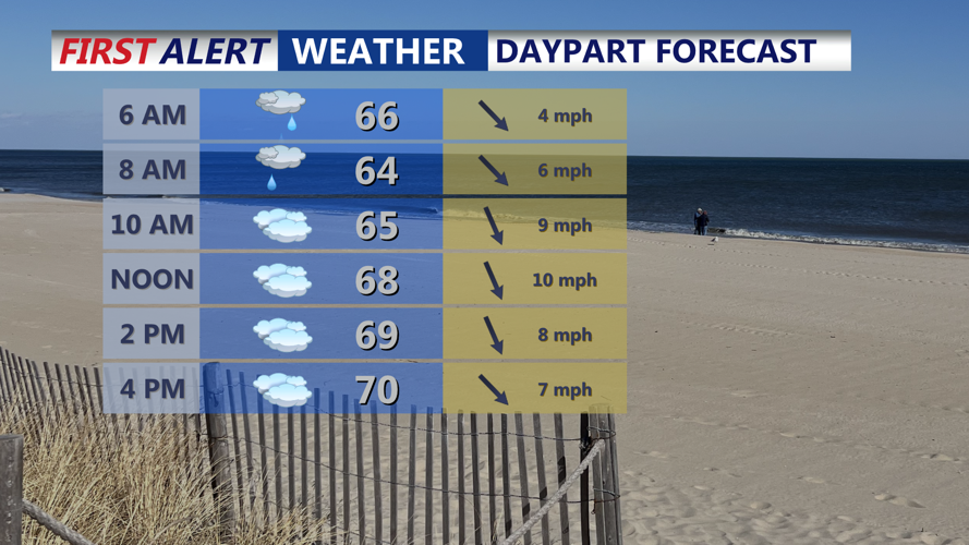
Scattered showers and thunderstorms are expected through the evening, though the severe threat should diminish after 9 p.m. Some storms may still bring gusty winds, heavy downpours and localized flash flooding before conditions settle overnight. Lows will drop into the low to mid-60s.

Scattered showers and downpours into the overnight.
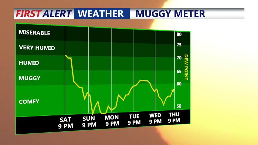
Sunday will be much cooler, with highs struggling to climb out of the 60s. The front is expected to stall across Delmarva, leading to scattered showers during the day. Clouds will gradually decrease overnight, with lows falling into the mid-50s.

Cloudy and much cooler Sunday, highs struggling to get out of the 60s, with scattered showers.
Cool, comfortable and dry air arrives Monday, when sunshine returns and temperatures rise into the low to mid-70s. Clouds increase again Monday night as a weak coastal low approaches, but conditions should remain dry with lows dipping into the mid to upper 50s.
Tuesday brings partly cloudy skies and highs in the mid-70s, though a few showers could brush the area Tuesday night if the offshore low tracks closer to the coast. By Wednesday, widespread clouds are likely to linger, keeping highs in the low 70s before slowly clearing late in the day.
The latter half of the week looks much calmer. High pressure will keep Delmarva dry from Thursday through Saturday. Thursday should be the warmest day of the stretch with highs in the low 80s before another cold front sweeps through, bringing cooler and pleasant weather into the weekend.
