


DELMARVA- We'll see mild conditions with a chance of showers today, with some thunder possible. Then a taste of winter early next week.

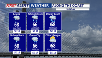
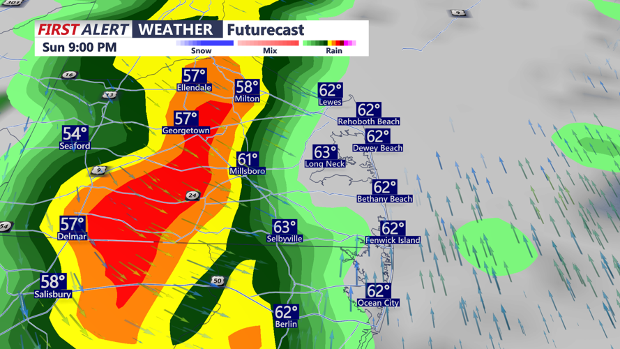
Sunday will start cloudy with scattered showers and even an isolated t-storm possible by midday, although forecast models differ on how long the rain persists. Regardless, temperatures should stay mild, reaching 68-72 before a strong cold front pushes through late Sunday night.

A few stronger storms are possible Sunday night with a slight chance for damaging winds, especially farther south on the peninsula. Temperatures falling into the 40s by Monday morning.

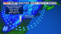
Behind the front, a blast of Canadian air will drop temperatures sharply. Monday will feel noticeably colder, with highs in the low 50s, and gusty winds making it feel even colder.

Monday night gets very cold with lows in the upper 20s and low 30s. With the wind it will feel like the 20s Tuesday morning.
On Tuesday highs will struggle to reach the mid 40s despite full sunshine. Tuesday night will be mostly clear and cold with lows in the 30s.
The chill won’t last long, temperatures are expected to rebound into the 50s by midweek as high pressure shifts south and a westerly flow returns, bringing calmer and slightly warmer conditions to Delmarva.