


DELMARVA -- After an unusually cold stretch, Delmarva is starting the week in the freezer again—though the worst of the bite is easing. Georgetown set a record cold high on Sunday, topping out at just 20°, breaking the previous record of 27° set back in 2007.
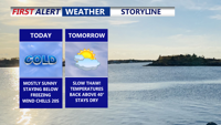
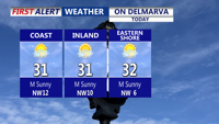
Today stays mostly sunny but well below average, with afternoon highs ranging from 25 to 33 degrees across the peninsula, coldest inland and a bit milder near the coast. The good news is the wind relaxes through the day and evening, so wind chill won’t be as big of a factor as it has been recently.

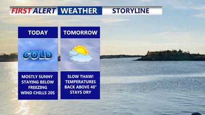
Mostly sunny skies, highs 25 to 33 on the peninsula.
Tonight, clouds gradually increase and temperatures dip into the teens and low 20s for another hard freeze in many areas.

Slowly thawing into Tuesday and midweek.
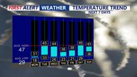
Tuesday brings a brief “mini thaw” as a warm front lifts through Delmarva, leading to partly to mostly cloudy skies and a noticeable warm-up with highs reaching the low to mid 40s. While this warmer push will allow for thawing during the day into midweek, the region will still see nighttime temperatures dropping below freezing, creating thaw-and-refreeze cycles on untreated surfaces, especially during the early morning hours.
Precipitation remains limited overall, but a weak system along the warm front could produce some light precipitation early Wednesday morning; coverage should stay isolated to scattered with chances no higher than 30%. A cold front moves through Tuesday night into Wednesday morning, shifting winds from southwest to west-northwests.
Colder air becomes more established later Wednesday as a secondary front swings through, increasing west-northwest winds and turning temperatures cooler for the second half of the week, though not to the magnitude of the Arctic outbreak that just hit Delmarva. Temperatures hold in the mid to upper 30s Thursday and Friday under mostly sunny skies.
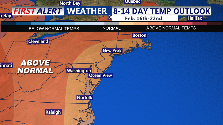
Looking ahead to Valentine's Day on Saturday, looks dry and pleasant with highs in the low to mid 40s. The next Sunday, another system may approach with milder air and the potential for rain and/or wintry precipitation, but forecast confidence remains low due to uncertainty in the storm’s track and high model variability. As we head into next week temperatures are trending slightly above normal.

Looking at slightly above normal temperatures over the extended period. Average high is 47.
