





DELMARVA -- Warm and muggy conditions will continue across Delmarva today as the region waits for a cold front to move through this evening.

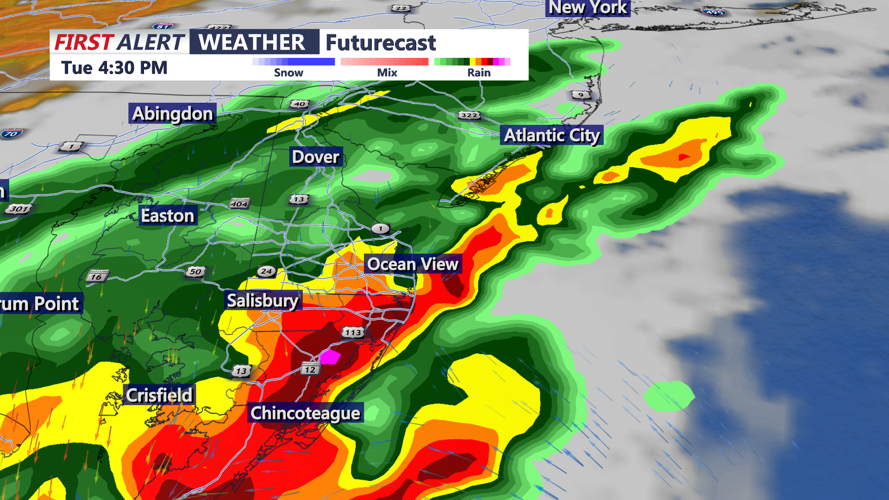
Threat of severe storms this afternoon, heavy rain along the coast as a cold front pushes through the area.
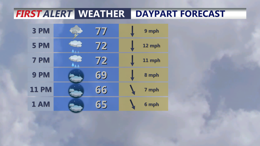
Skies will be partly sunny through the day, with highs reaching the low to mid 80s inland and the upper 70s to low 80s along the coast. The humid air in place will help fuel another round of showers and thunderstorms this afternoon into the early evening.
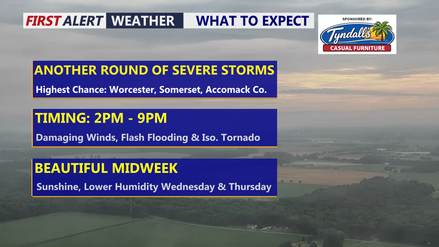
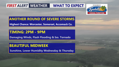
Some storms could become strong to severe. Damaging winds are the main threat, but an isolated tornado cannot be ruled out. Heavy downpours may also lead to localized flash flooding, especially in areas that see repeated rounds of rain.

Severe storms possible this afternoon -evening, greatest threat damaging winds, flash flooding and an isolated tornado can't be ruled out.
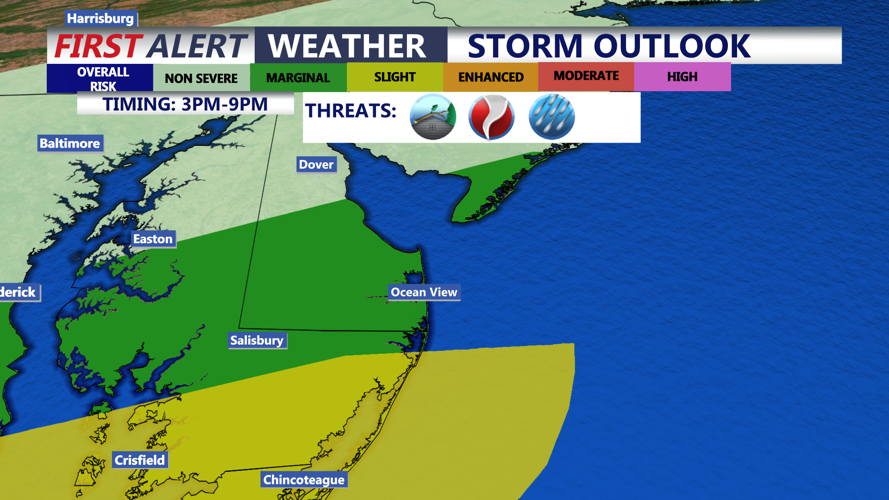
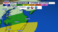
The highest severe weather risk is expected across southern Delmarva, including Somerset, Worcester, and Accomack counties, where there is a slight risk for severe storms. These areas have the greatest chance of seeing stronger storms capable of producing damaging wind gusts and possibly an isolated tornado.

Tracking the threat for heavy thunderstorms this afternoon into the evening, some could be severe.
Elsewhere across Delmarva, a marginal risk for severe weather remains in place, along with a marginal risk for excessive rainfall. Storms may be heavy at times as another disturbance moves through the broader weather pattern over the East. Rainfall totals could exceed 2 inches in some spots where heavier cells set up.
By tonight, low pressure and its associated showers and storms should finally move away from the region. Winds will shift to the northwest and may gust up to 30 mph. Skies will gradually clear, and temperatures will fall into the upper 50s to low 60s.
Wednesday looks like the pick of the week for Delmarva. Expect wall-to-wall sunshine, lower humidity, and highs in the mid 80s.
Sunshine continues Thursday with another warm day expected. Highs will climb into the mid to upper 80s under mostly sunny skies.
By Friday, heat and humidity return, with highs back near 90 degrees. Another cold front is expected to approach the region late this week, likely bringing renewed chances for showers and thunderstorms beginning as early as late Thursday and continuing into Friday.
That late-week system will bring more moisture into the area on southwesterly winds ahead of the front. However, the strongest forcing may remain north of Delmarva, which could limit how widespread the heaviest rain becomes. The exact storm threats will depend on the timing of the showers and storms, which remains uncertain.
The front may linger near the region into next weekend. If that happens, chances for showers and storms could continue, especially during the afternoon and evening hours. There is still uncertainty in the weekend forecast, so residents and visitors across Delmarva should continue to monitor updates through the week.
