




DELMARVA - A developing coastal storm will bring increasingly hazardous conditions to Delaware’s beaches from late Wednesday evening through late Thursday evening, with strong winds, coastal flooding, high surf and dangerous rip currents creating the greatest concerns.
Low pressure developing well off the North Carolina coast is expected to strengthen and move north toward New England through the end of the week. The storm is forecast to remain far enough offshore to keep the heaviest rain away from Sussex County, but a tightening pressure gradient between the storm and strong high pressure to the north will produce increasing northeast winds.
Along the Delaware beaches, including Lewes, Rehoboth Beach, Dewey Beach, Bethany Beach and Fenwick Island, wind gusts of 45 to 50 mph will be possible at times. Inland portions of Sussex County can expect gusts generally between 20 and 30 mph. The strongest impacts are expected along the immediate coast.
Rain should be limited Wednesday night, with only a slight chance of showers developing along coastal Delaware on Thursday. The better chance for showers near the shoreline arrives Thursday night as the coastal storm continues to strengthen offshore.
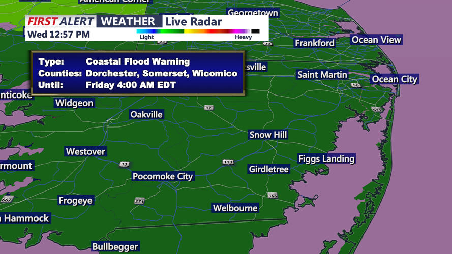
Coastal flooding will be a major concern. Persistent northeast winds will push ocean water into back bays and tidal waterways, allowing water levels to build through repeated high-tide cycles. Coastal Flood Warnings and Advisories remain in effect, with some locations potentially reaching moderate flood levels. The approaching full moon Saturday will also contribute to higher astronomical tides.
For beachgoers, conditions in and near the ocean will be especially dangerous. Breaking waves of 6 to 12 feet are expected along the Delaware beaches, accompanied by life-threatening rip currents. A High Risk of rip currents and a High Surf Advisory are in effect, and beach erosion is likely, with isolated dune erosion also possible. Entering the ocean is strongly discouraged under these conditions.
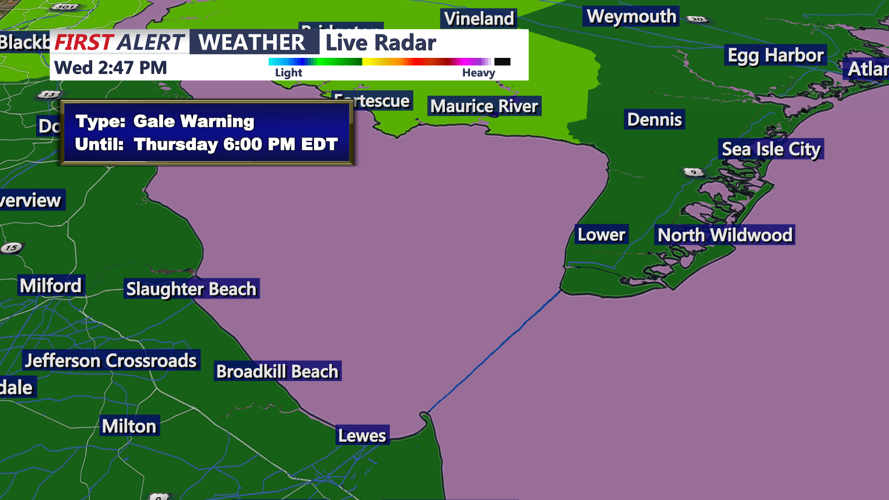
Marine conditions will also remain hazardous, with gale-force winds and seas ranging from 8 to 15 feet over the Atlantic coastal waters through Thursday.
Residents and visitors in low-lying beach communities should be prepared for water covering vulnerable roads around high tide, while motorists should avoid driving through flooded streets. Coastal conditions are expected to remain hazardous beyond Thursday evening as the offshore storm lingers into the weekend.
