


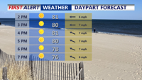


DELMARVA -- Sunday will bring another day of picture-perfect weather to Delmarva as high pressure continues to influence the region. Expect sunny skies and comfortably cool conditions for early August, with highs in the upper 70s to low 80s — well below the seasonal average. If you’re heading to the shore, keep in mind that there is a moderate risk of rip currents from Delaware beaches south through Ocean City and Chincoteague. Swimmers are urged to remain close to lifeguards and use caution in the water.
Sunday night will deliver another refreshing cooldown, with inland temperatures falling into the 50s and coastal locations staying in the 60s.

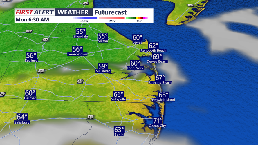
Another cool comfortable night falling into the 50s away from the coast.
High pressure will gradually weaken and shift east early in the week, allowing for a slow but steady warming trend. Monday and Tuesday will turn hotter, with highs in the upper 80s to low 90s.

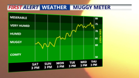
After days of comfortable conditions, dew points will go back into the 70s by Wednesday.
Dew points will stay in the 60s Monday but climb into the low 70s across parts of Delmarva by Tuesday, creating a more humid feel. While heat indices will remain below advisory levels, some patchy fog could form late Monday night into Tuesday morning.

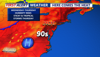
The 90s are back on Delmarva for a midweek appears, heat index could approach 100.
By Wednesday, a surface trough will set up over the region, and an increasingly unstable air mass may trigger scattered showers and thunderstorms, especially during the afternoon and evening. Highs will climb into the low 90s, with dew points in the low 70s driving heat indices close to 100 degrees inland.
A cold front will approach Thursday, bringing additional storm chances. Depending on cloud cover and precipitation, temperatures could dip slightly, though humidity will stay elevated.
Looking ahead to Friday and Saturday, the front may stall nearby as mid-level ridging builds from the south and high pressure positions to the north. This setup could bring some cooling in spots, but the potential for showers and storms will remain, hinging on the exact placement of the front.