



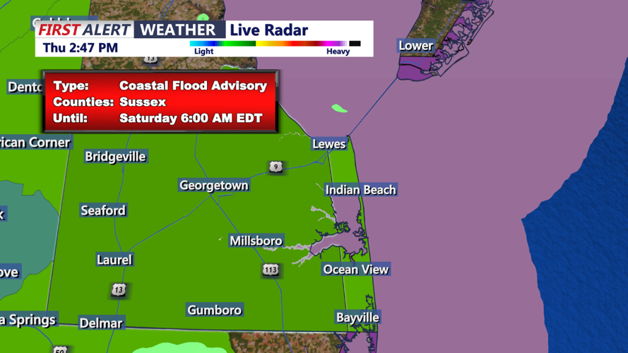
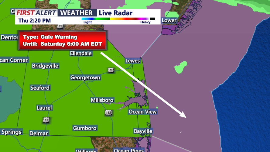
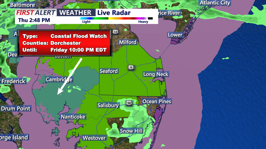

DELMARVA - A nearly stationary front will linger near Delmarva through Thursday, bringing periods of showers and cloud cover to the region. The remnants of Tropical Storm Debby will track northward near Delmarva on Friday and Friday night, merging with the front before it shifts offshore on Saturday. High pressure will then build in, influencing the region into the beginning of next week.
For Thursday evening, a stationary front remains situated over northern Delmarva. This front is expected to slowly lift northward throughout the day while weakening, continuing to act as a focus for shower development in the morning. The main concern, however, will be the initial rain bands from Debby, which will start impacting Delmarva later today. These rain bands are expected to move quickly, limiting the flooding threat somewhat. However, the latter part of the day will see conditions increasingly similar to a tropical environment, with high precipitable water values and deep warm cloud layers, raising the risk of localized flash flooding.
Into the overnight hours, low-level shear will increase, but a stable boundary layer should remain. Therefore, while a severe storm cannot be completely ruled out, the primary period of impact will likely be during the day on Friday.
Persistent cloud cover will keep high temperatures below normal today, ranging from the mid-60s in the southern Poconos to the lower 80s across portions of Delmarva. Residents are advised to stay alert for weather updates, as conditions can change rapidly with the approaching remnants of Tropical Storm Debby.
