



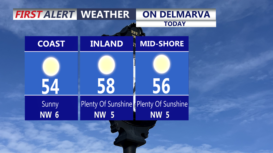

DELMARVA -- Sensational seasonable day on Delmarva with wall-to-wall sunshine and highs in the mid to upper 50s. Winds at of the northwest 5 to 10 mph.

Wall-to-wall sunshine, seasonable highs in the upper 50s, winds light out of the northwest.
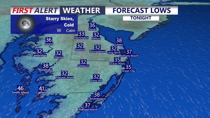
Tonight will stay starry and cold with lows once again in the upper 20s to low 30s into Wednesday morning.

Tonight will be another cold night dipping into the upper 20s to low 30s.

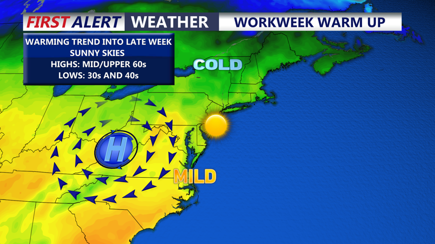
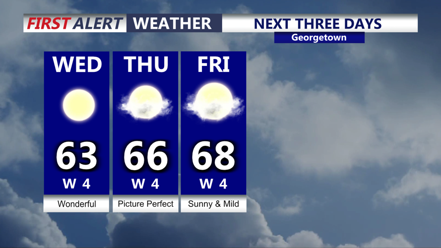
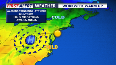
Warming trend through late week with highs in the mid to upper 60s.
A dominant ridge of high pressure remains in control as the warming trend continues into late week. A picture perfect midweek with highs Wednesday in the low to mid 60s. Winds out of the west 3 to 5 mph. The dry weather will persist through at least Saturday. Highs Thursday and Friday in the mid to upper 60s under mostly sunny skies. Some higher clouds will start to build into the region Saturday as temperatures remain in the mid 60s.
High pressure moves offshore into the weekend. An area of low pressure will develop of the Southeast coast over the weekend. Some models bring the system right into the area, while others keep the low offshore. At the same time a cold front will be sweeping through the eastern half of the country. Clouds and some showers are possible Sunday into Sunday night. Depending on the track of the low will determine how much of any rain we will see.
Heading into Thanksgiving week, starts off cooler and dry with highs in the low 50s. As we head into Thanksgiving and Black Friday we turn milder into the upper 50s to low 60s. There could be another system that brings rain for Thanksgiving and late week. That may be the start of an active stretch of weather as we round out November and heading into December.
