


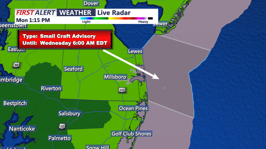


DELMARVA - Residents should prepare for a wet and unsettled start to the week, as a shifting weather pattern brings rain and possible thunderstorms to the area on Tuesday and Wednesday. The base of high pressure that has been centered over the Canadian Maritimes will begin to pull away on Tuesday, allowing an approaching frontal system to make its presence felt across the Northeast and Mid-Atlantic.
Tuesday: On Tuesday morning, low pressure will be situated over the western Great Lakes, with a warm front extending out ahead of it. Although the high pressure in the Northeast will slow the progress of this system, it won't be enough to keep the region dry. By Tuesday afternoon, showers associated with the warm front will begin to move into the far western parts of Delmarva. These showers will be fairly light initially, but activity is expected to increase later in the day and into the night as the front continues to lift towards the region. Temperatures on Tuesday will range from the mid-60s to low 70s, with increasing cloud cover throughout the day.
Wednesday: Wednesday will bring more widespread and intense weather as the low pressure lifts towards Ontario, dragging a cold front closer to Delmarva. Showers will become more frequent and heavier, with the potential for a few thunderstorms to develop, especially in the afternoon and evening. The instability caused by increasing low-level moisture and rising dew points into the 60s to around 70 will create conditions ripe for locally heavy rainfall. Rainfall amounts are expected to be higher across the northern half of Delmarva, where totals could range from 0.50 inches to 1 inch, with some localized spots potentially seeing even more. Elsewhere, rainfall amounts will likely be between 0.25 inches to 0.50 inches.
The cold front will pass through the region by Wednesday night but may stall near Delmarva, leading to lingering showers into the night. Although the front may start to wash out by late Wednesday night, the combination of high humidity and remaining instability means the threat of additional showers will persist.
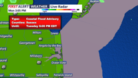
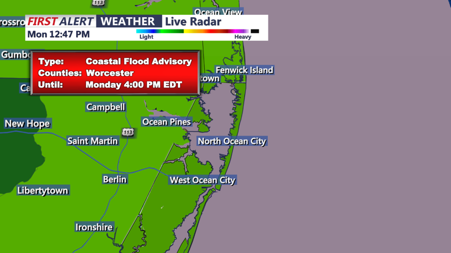
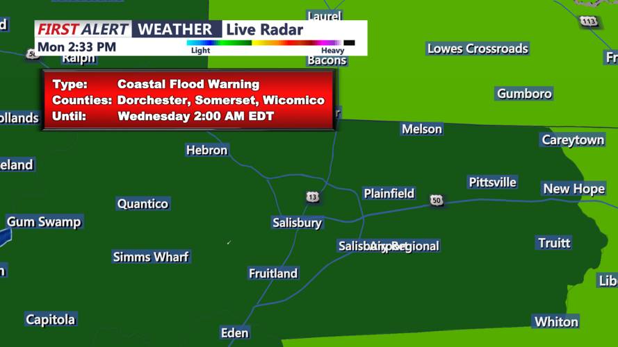
Residents are advised to stay alert to the latest weather updates, as localized flooding could become an issue in areas that see the heaviest rain. Keep your umbrellas handy, and prepare for a soggy midweek across Delmarva.