




DELMARVA -- Will see one final day of unsettled weather today before a cold front moves through and high pressure builds in behind it.

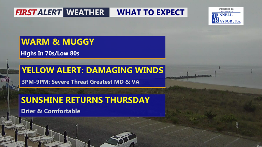
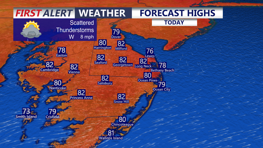
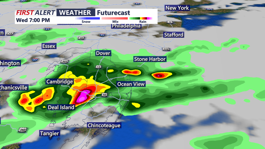
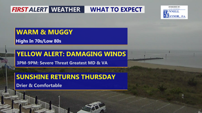
Warm and muggy day with highs in the upper 70s to low 80s, scattered storms develop in the afternoon.
A Yellow Alert is in effect for this afternoon through early evening as thunderstorms may develop and move into the region. Some storms could become strong to severe, with the primary threat being damaging wind gusts. Warm and muggy conditions will help fuel storm development, with highs reaching the upper 70s to low 80s.
The best chance for stronger storms will depend on how much sunshine breaks through during the day. Any peaks of sun could increase instability and allow storms to strengthen. Conditions look more favorable across Maryland for clusters of thunderstorms to develop, and some of those storms could cross the Chesapeake Bay and move into Delmarva later this afternoon.

Scattered showers and thunderstorms will develop and push through the area this afternoon-evening. Some storms could bring a damaging wind threat.
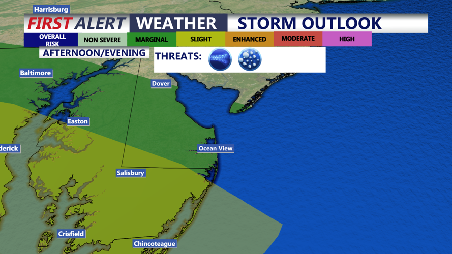
The Storm Prediction Center has placed parts of the Eastern Shore and southern Delaware under a Slight Risk, level 2 out of 5, for severe weather. Much of Delmarva remains under a Marginal Risk, level 1 out of 5.

Marginal to Slight risk of severe storms this afternoon-evening, great threat damaging winds on the Eastern Shore of Maryland and Virginia.
Rainfall totals will generally range from a half inch to one inch, especially where stronger storms develop. Flooding is not expected to be a concern.
Tonight will remain cloudy, with temperatures falling into the mid 60s. Sunshine returns Thursday, and by the afternoon, a much more comfortable air mass will settle into Delmarva as humidity drops.
Friday looks mostly sunny with highs in the mid to upper 70s. The weekend is trending dry and slightly cooler, especially by Sunday, as high pressure remains in control.
Looking ahead to early next week, some forecast guidance suggests an upper-level low could bring another round of unsettled weather, but confidence remains low beyond Sunday. Temperatures through the extended period are expected to stay near or slightly below normal for late May and early June.
