



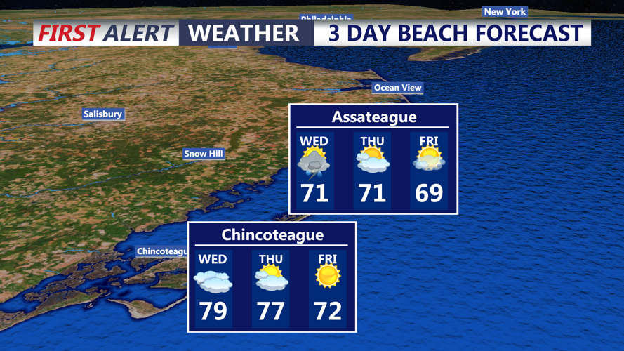

DELMARVA - Wednesday will start with unsettled weather as a stationary front remains near Delmarva and low pressure tracks along it.
Rounds of showers are expected through the morning and afternoon, with rainfall totals near or above a half-inch possible in parts of southern Delaware. Downpours could briefly reduce visibility and lead to ponding on roads.
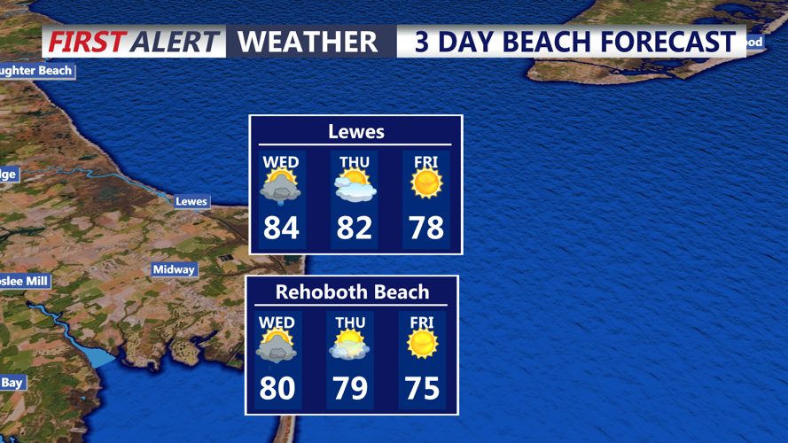
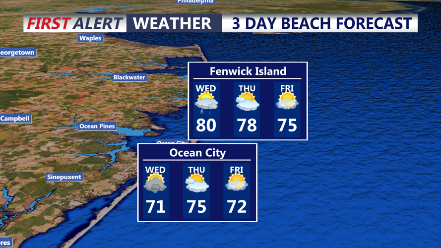
Thunderstorms may develop Wednesday. Storm Prediction Center has a Marginal to Slight risk of severe storms, with the highest threat over the southwest portion of the peninsula. Some storms could become strong, with gusty to locally damaging winds possible in the strongest cells. Highs are expected to hover near 80 degrees.
A cold front will move in from the northwest later Wednesday, gradually bringing an end to the rain and storm chances Wednesday night.
By early Thursday morning, drier and more seasonable air will begin moving into the area. The change will set up a quieter stretch of weather heading into the end of the week and the weekend, with highs mainly in the 70s and lows generally in the 50s.
