




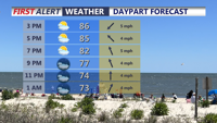
Delmarva will see a mix of sun and clouds Wednesday with temperatures reaching the mid to upper 80s. An isolated sea-breeze shower or thunderstorm cannot be ruled out this afternoon, with additional rounds of showers and storms possible Wednesday night through Friday. A cold front should clear the region late Friday, bringing cooler temperatures, lower humidity and mainly dry weather for the weekend. Minor tidal flooding is also possible along portions of coastal Delaware around the evening high tides.
From
To


Delmarva will remain hot and humid through the middle of the week with daily chances for showers and thunderstorms. Some storms could produce strong winds, heavy downpours and localized flash flooding, while minor tidal flooding is also possible along Delaware’s Atlantic coast and Delaware Bay during evening high tides. A cold front should bring cooler, much drier and more comfortable weather by Friday and Saturday.

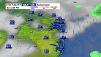
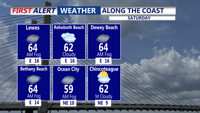
We're seeing low clouds and areas of dense fog this evening, especially at the coast, with temperatures in the 50s and 60s.

DELMARVA - This morning, a backdoor front will slide southwestward into the region, setting up a northeast to east low-level flow. This will b…
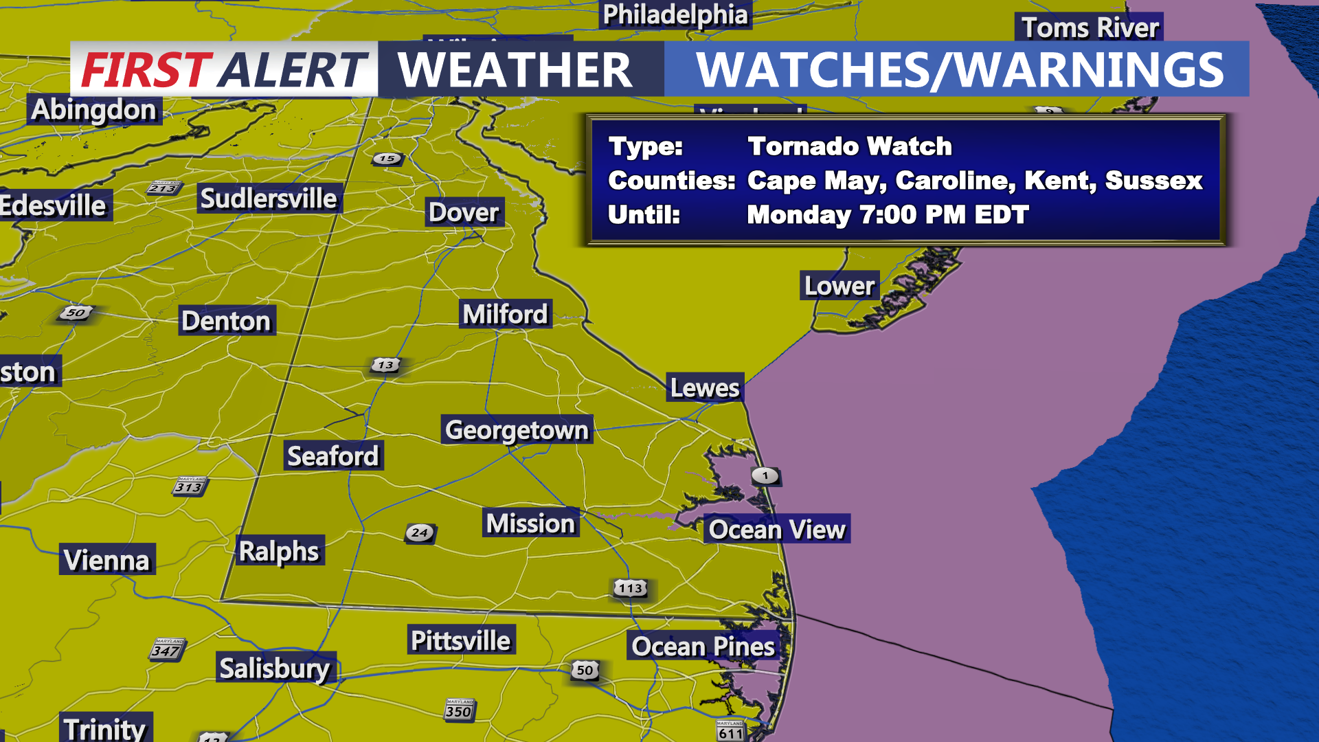
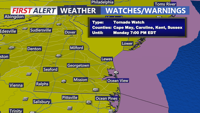
Today on Delmarva, a powerful storm system will bring the risk of strong to severe thunderstorms this afternoon into tonight, with damaging winds as the primary concern and an increasing threat for isolated tornadoes. Even outside of storms, southerly winds will gust from 35 to 45 mph, with some areas seeing gusts up to 50 mph. Heavy rainfall may lead to localized flash flooding, especially inland, while Sussex County faces minor coastal flooding along the back bays including Rehoboth Bay and Little Assawoman Bay. Conditions turn cooler and dry Tuesday through Wednesday before temperatures gradually moderate later in the week, with the next chance for showers arriving Friday night into Saturday.

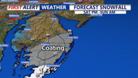
Delmarva stays locked in arctic cold today with highs only in the low to mid 20s under increasing clouds, flirting with record territory near Georgetown. Light snow and flurries arrive this evening and overnight, with the best chance for measurable snow remaining in far southern and coastal areas, especially Accomack County. The bigger story is a rapidly strengthening storm offshore that will bring bitter wind chills and the risk of minor coastal flooding during the Sunday morning high tide

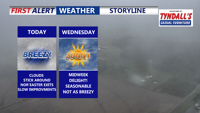
A departing coastal low keeps skies cloudy and winds gusty across Delmarva today, but drier, cooler air arrives midweek as a cold front sweeps through. Temperatures will dip into the 30s and 40s by midweek nights, with high pressure bringing sunshine and calmer weather by Friday. Another warm-up and a chance of showers are expected by the weekend.

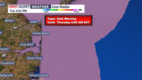
A developing storm system will bring heavy rain, gusty winds, and possible thunderstorms to the Delmarva region Tuesday night through Wednesday evening, with improving conditions by Thursday.


A sunny and breezy day kicks off the weekend across Delmarva, with temperatures slightly above normal for mid-November. However, brisk winds and high astronomical tides, aided by the full moon, will maintain minor coastal flooding concerns through the weekend. Overnight lows Saturday will drop near freezing inland, with warming temperatures expected Sunday into Monday. A weak cold front on Sunday night brings minimal impact, and above-average temperatures continue into early next week.


Delmarva will enjoy clear skies tonight as high pressure builds into the region, but brisk northwest winds and above-average temperatures will mark Saturday. Coastal flooding remains a concern along the Delaware coast through Saturday morning. Dry conditions, low humidity, and gusty winds will elevate fire risks in Delaware Saturday despite no Red Flag Warnings being issued. Looking ahead, a weak cold front will pass late Sunday into Monday without precipitation, while warmer temperatures and potential precipitation may arrive midweek with a stronger storm system.