




DELMARVA - A powerful nor'easter spinning hundreds of miles off the Mid-Atlantic coast will continue to produce strong winds, dangerous surf and coastal flooding from early Wednesday morning through early Thursday morning, with the most significant impacts expected along the beaches and inland bays.
The National Weather Service in Mount Holly has extended a Coastal Flood Advisory through 10 p.m. Wednesday as persistent northerly and northeasterly winds continue to push ocean water toward the shoreline.
Wednesday evening's high tide is expected to bring the greatest flooding concerns, with widespread minor tidal flooding possible along the Atlantic coastline and portions of Delaware Bay. Some back-bay communities could experience moderate flooding as water levels rise above normal.
Low-lying neighborhoods near Lewes, Rehoboth Beach, Dewey Beach, Bethany Beach, Fenwick Island, and Ocean City will be particularly vulnerable to tidal flooding. Water-covered roadways and flooding of properties near tidal waterways are possible, especially during the evening high tide cycle.
Meanwhile, a tightening pressure difference between the offshore storm and strong high pressure over New England will produce another windy day.
Along the beaches, north to northeast winds could gust between 30 and 40 mph, while inland communities, including Georgetown, Millsboro, Seaford and Laurel, could experience gusts approaching 30 mph.
Despite the storm's strength, widespread rainfall is not anticipated. Most inland locations should remain dry throughout Wednesday, although a few isolated showers could approach the immediate coastline. Periods of increased cloud cover are also possible as the offshore storm briefly shifts westward before resuming its northeastward movement.
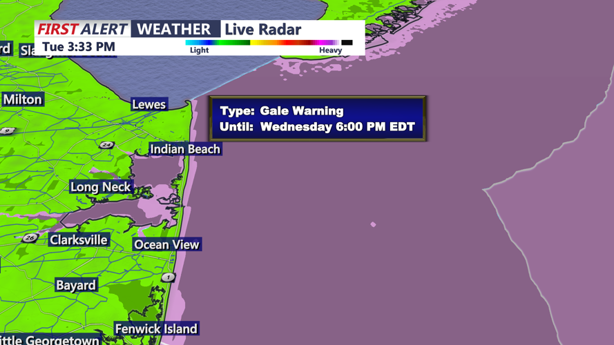
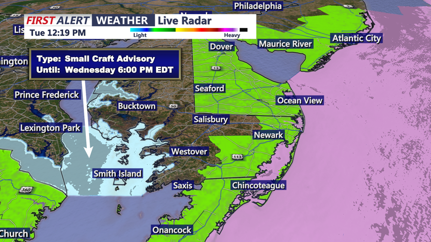
Marine conditions will remain particularly dangerous. A Gale Warning is in effect for much of the Atlantic coastal waters through 6 p.m. Wednesday, with some offshore waters remaining under warnings into early Thursday morning. Wind gusts over the ocean could reach approximately 35 to 52 mph, producing hazardous conditions for recreational and commercial vessels.
Large breaking waves and persistent onshore winds will also contribute to beach erosion, particularly during Wednesday evening's elevated high tide. Residents and visitors should avoid entering the dangerous surf and remain cautious near vulnerable sections of the coastline.
By Wednesday night and early Thursday morning, the offshore storm will begin pulling farther away from the region. Winds should gradually weaken, although rough seas and elevated water levels could linger into Thursday.
Another round of minor coastal flooding remains possible Thursday evening, although water levels are currently expected to be lower than Wednesday evening's peak.
Looking ahead, a fresh surge of chilly air will move late Thursday and Friday, setting the stage for a noticeably colder weekend. Inland overnight temperatures could fall into the 30s Friday night and Saturday night, potentially producing frost in some communities.
For Wednesday, however, the primary concerns will remain strong coastal winds, dangerous marine conditions and the potential for significant tidal impacts during the evening high tide.
