




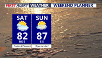
A pleasant and quiet rest of the weekend, building heat builds next week.
From
To

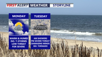
Scattered strong storms are possible across Delmarva today, but Tuesday is expected to bring the greatest threat for severe weather and flash flooding.

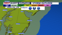
Delmarva will see a hot, muggy, and windy Thursday with scattered severe storms possible late this afternoon into the evening. Friday stays unsettled with lingering showers and storms before a much brighter Father’s Day weekend.

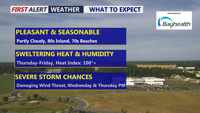
Delmarva will enjoy a beautiful and seasonable day today, with highs in the low 80s inland and low 70s along the coast. Humidity begins to return tonight, setting the stage for scattered showers and storms Wednesday and Thursday. Dangerous heat is likely late this week, especially Thursday and Friday, before a cold front brings some relief into the weekend.


Delmarva will see a seasonably warm weekend as a stationary cold front lingers over the Mid-Atlantic. A few isolated showers and thunderstorms are possible Sunday evening before drier, cooler air settles in early next week. We continue to monitor Hurricane Erin, which could bring rough surf, dangerous rip currents, and minor coastal flooding to the region starting Monday.

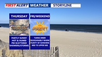
Thursday on Delmarva will be warm and muggy under partly sunny skies, with highs ranging from the mid-80s to lower 90s. Scattered showers and thunderstorms are expected to develop in the afternoon and evening, and while severe weather is not anticipated, some storms could bring locally heavy rain and minor flash flooding. A weak cold front will move through, settling south of the region Thursday night. Conditions gradually dry out Friday and Saturday, though a stray shower or storm remains possible. Another cold front arrives late Sunday, followed by cooler, less humid air early next week.

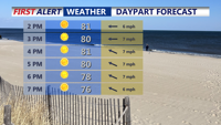
Delmarva will enjoy a sunny and comfortable Sunday, with highs in the upper 70s to low 80s and a moderate rip current risk from Delaware beaches through Chincoteague. Overnight lows will dip into the 50s inland and 60s at the coast. High pressure will weaken early next week, bringing a warming trend into the upper 80s and low 90s by Tuesday. Midweek turns hotter and more humid, with a surface trough and cold front increasing the chances for showers and storms Wednesday and Thursday. The front may stall into the weekend, keeping the forecast unsettled.

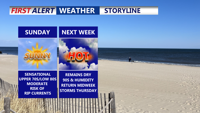
Delmarva will enjoy another sunny and comfortable day on Sunday, with highs in the upper 70s to low 80s — several degrees below normal for early August. A moderate rip current risk will remain in effect for Delaware beaches through Chincoteague, and swimmers are urged to stay near lifeguards. Overnight lows will dip into the 50s inland and 60s near the coast. High pressure will weaken early in the week, bringing a warming trend that pushes highs into the upper 80s to low 90s by Tuesday. Midweek turns hotter and more humid.

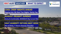
Unseasonably cool weather will stick around through the weekend, with sunny skies and below-average temperatures continuing Sunday. Overnight lows will dip into the 50s inland and 60s at the coast, with a moderate rip current risk from Delaware beaches to Chincoteague. A gradual warm-up begins early next week, leading into hotter and more humid conditions by midweek, with a chance of storms Wednesday and Thursday.

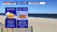
Delmarva will enjoy a stretch of sunny, comfortable weather from Saturday through Monday, with only light breezes and mild temperatures. However a HIGH risk of rip currents remains for all beach points in Delaware, to Ocean City to Chincoteague. Conditions will heat up by midweek, with highs in the 90s, rising humidity, and a chance for scattered afternoon storms.