


DELMARVA - If you’re heading out in Sussex County or the Ocean City, Maryland area, brace yourself—it’s going to be a blustery one. A Wind Advisory is in effect through Friday afternoon as gusty winds continue to sweep through the region, making for a cold and potentially hazardous day along the coast.
After a low-pressure system pushed north into Canada, high pressure is building in from the west, keeping the pressure gradient tight—basically, that means strong winds aren’t going anywhere just yet. Expect west-northwest winds to gust between 40 to 50 mph overnight and through much of Friday, gradually easing as the day progresses.
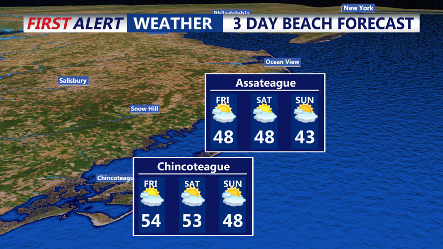
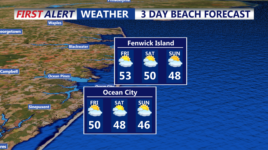
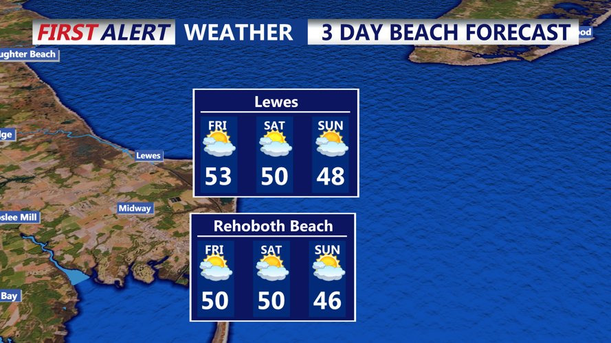
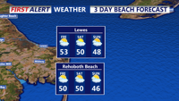
And it’s not just the wind making things feel rough. Overnight temperatures will dip into the upper 20s to low 30s, but with the wind chill, it will feel more like the teens and low 20s—a stark contrast to the mild weather we saw earlier in the week. By Friday afternoon, temperatures will hover in the mid-40s to low 50s, but those gusty winds will make it feel even chillier.
If you have loose outdoor items like patio furniture, decorations, or trash cans, now’s the time to secure them before they take an unexpected trip down the street. Drivers—especially those in high-profile vehicles—should be extra cautious, as strong crosswinds could make travel tricky, particularly on bridges and overpasses.
As for how to dress? Layer up. A warm coat, hat, and gloves will make a big difference, especially in the morning hours when the wind chill is at its worst.
Looking ahead, a weak cold front Friday night could bring a few isolated rain or snow showers, but chances are low. The weekend, however, looks much calmer, with drier conditions and temperatures rebounding into the 50s.
For now, expect a windy and brisk Friday, so bundle up, hold onto your hats, and stay safe out there!
