


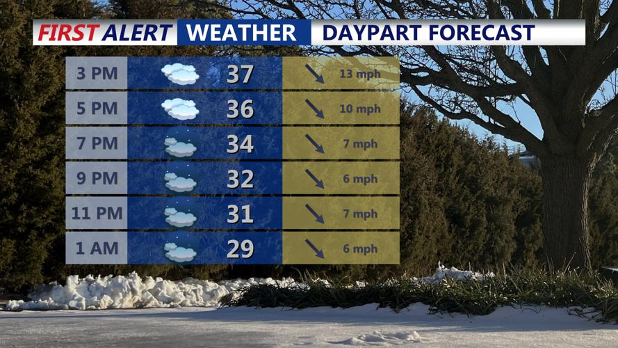
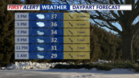


DELMARVA -- Much cooler today than where we have been over the latest two days. A tight pressure gradient keeping conditions breezy and brisk. Low pressure offshore to the east and high pressure approaching from the west will maintain northwest winds that become gustier again this morning and through the day. Gusts of 20 to 25 mph are likely, and while actual temperatures will run milder than the coldest days of recent weeks, the wind will make it feel noticeably colder. Afternoon highs are expected to reach the mid to upper 30s, but the wind chill will make it feel roughly 10 degrees colder at times.

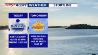
Partly sunny skies and highs in the mid to upper 30s, wind gusts to 20-30 mph out of the northwest.
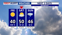
Conditions begin to improve heading into tonight and Friday as high pressure builds in and the pressure gradient relaxes. Winds will diminish tonight, allowing temperatures to drop more efficiently, with lows mainly in the low 20s. Friday looks quieter and brighter, featuring mainly sunny skies with highs returning to the upper 30s to around 40 across much of the region.

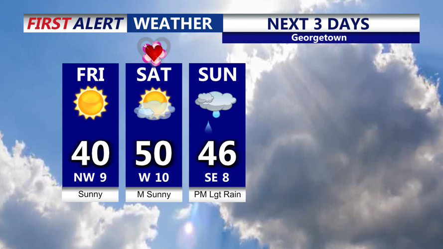
Sunny skies Friday, turns milder for Valentine's Day, tracking some rain Sunday night.
The overall trend turns milder for the weekend as high pressure shifts slowly east and the air mass moderates. Saturday, Valentine’s Day, is shaping up as the warmest day of the weekend with highs around 50. Sunday remains relatively mild, generally in the mid to upper 40s, though temperatures could be influenced by the next weather maker. Even with the warmer afternoons, Saturday night still looks cold enough for below-freezing lows, generally in the 20s.
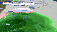
Attention then turns to a developing area of low pressure expected to affect parts of the East Coast late Sunday into Monday. Forecast guidance continues to suggest the surface low should track to the south of Delmarva, but there is still uncertainty in the storm’s exact strength and how far north the precipitation shield expands. With a milder air mass in place beforehand, precipitation would generally favor rain, or a rain/snow mix that changes to rain. Some scenarios show a stronger system developing, and while that outcome appears low probability based on recent trends, a stronger storm could create enough dynamic cooling for accumulating snow inland, with most coastal locations more likely to stay primarily rain. For now, the most reasonable expectation is a period of precipitation from Sunday afternoon into early Monday, with chances ranging from about 30 to 70 percent from north to south, and the northern areas that have the better chance of snow also currently carry the lower precipitation probabilities.

An area of low pressure will track to our south bringing rain to the area Sunday night-early Monday.
Regardless of the exact details with the late-weekend system, the storm should be out of the region by Monday afternoon. Milder weather then looks poised to build in, with highs well into the 50s for most locations and even some 60s possible by Wednesday.
