





DELMARVA - Lingering clouds and a few showers will remain possible across Sussex County late Wednesday night as an upper-level storm system slowly moves across the Mid-Atlantic.
A stronger disturbance rotating around the system could keep scattered showers in the area overnight. Although widespread thunderstorms are not expected, an isolated rumble of thunder cannot be ruled out. Northwest winds will gradually weaken overnight.
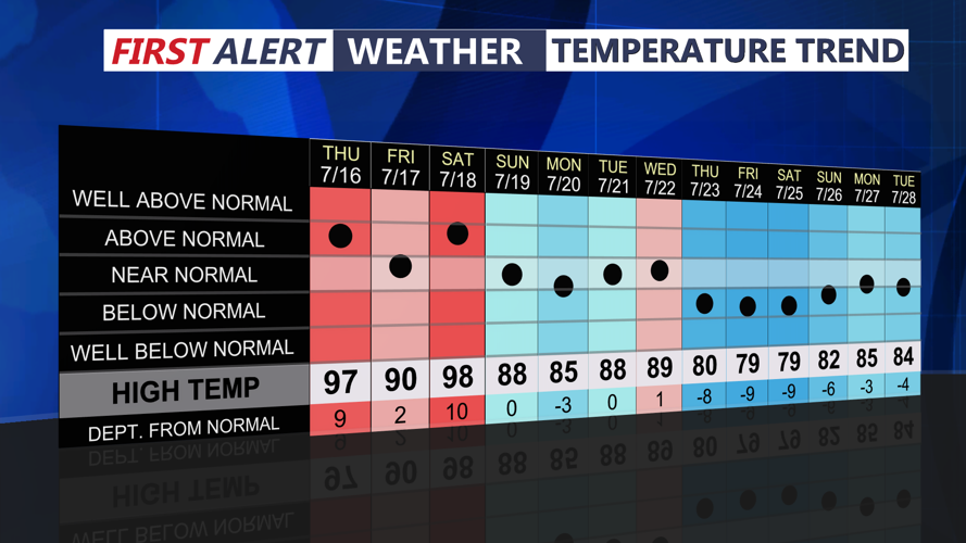
Thursday will remain mostly cloudy and cooler than normal. A few additional showers or an isolated thunderstorm could develop during the afternoon as colder air remains in place above the region. Northwest winds will become breezy again during the day.
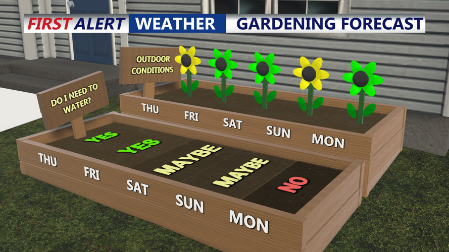
Conditions will begin improving Thursday night as the upper-level system moves farther offshore and high pressure builds into the region. Skies should gradually clear, with drier and more tranquil weather expected Friday and Saturday.
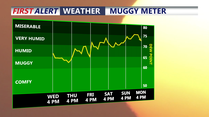
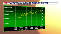
The quiet stretch may be brief. Another storm system is expected to approach Sunday, bringing increasing chances for showers and thunderstorms by Sunday night and Monday. The system could carry considerable moisture, potentially producing periods of heavy rainfall.
