


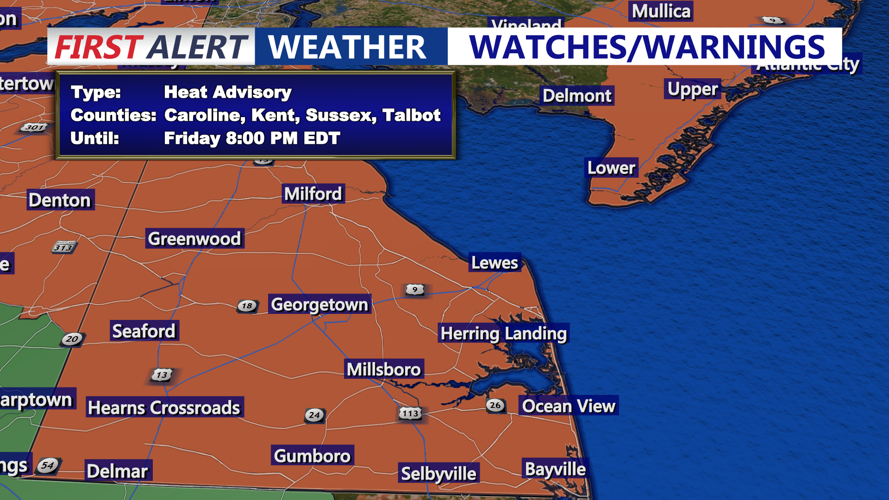
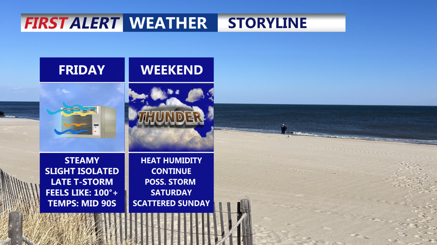


DELMARVA - Sussex County residents can expect an active weather pattern late Friday into Saturday as a cold front slides south across the region. This front, combined with intense heat and humidity Friday afternoon and evening, will spark scattered thunderstorms. Some storms may produce strong winds and heavy downpours before diminishing late Friday night.
Behind the front, Saturday will feel noticeably different, with lower humidity and slightly cooler temperatures compared to recent days. Highs will remain in the 80s, but humidity will stay elevated along the Delmarva Peninsula, and heat indices could still approach the 90s in spots. While most of Saturday will be dry, a stalled boundary near the region could spark isolated showers or a thunderstorm, mainly near the county’s southern and western borders.
Conditions will turn unsettled again Saturday night as another wave of showers and thunderstorms approaches. This activity is expected to continue into Sunday as a warm front lifts north, followed by another cold front later Sunday into Sunday night. While severe weather risk remains limited, heavy rainfall could lead to localized flash flooding in low-lying areas.
High pressure will return Monday and Tuesday, bringing dry conditions and sunshine. Another cold front midweek may produce additional showers and storms, followed by cooler, less humid weather late next week.