




DELMARVA -- Picture perfect fall day on Delmarva after our cold start this morning. High pressure is building into the region.

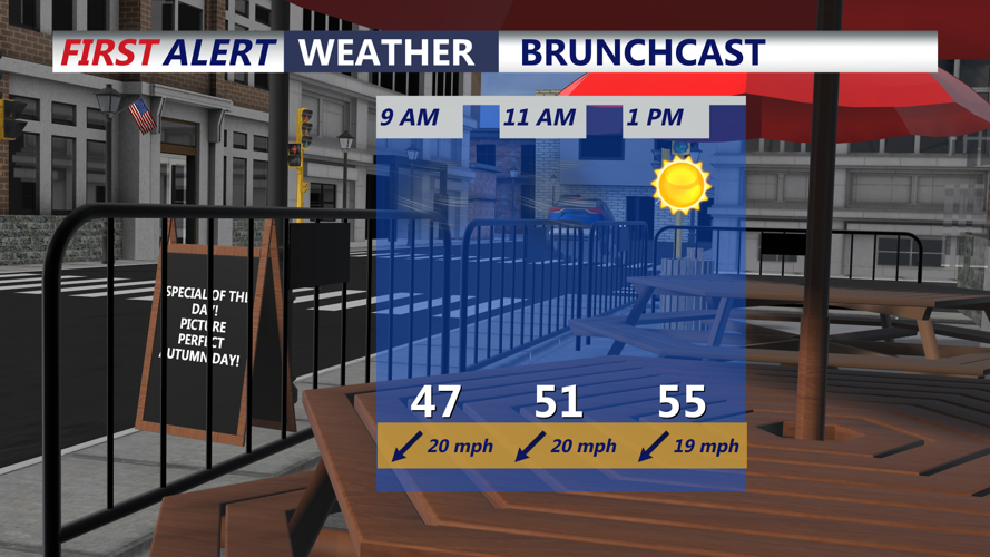
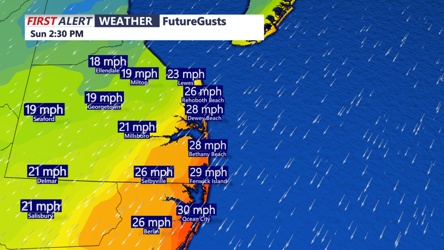
A breezy cold start to a sunny autumn day on Delmarva, most of the area stays in the 50s, gusts to 30 mph.
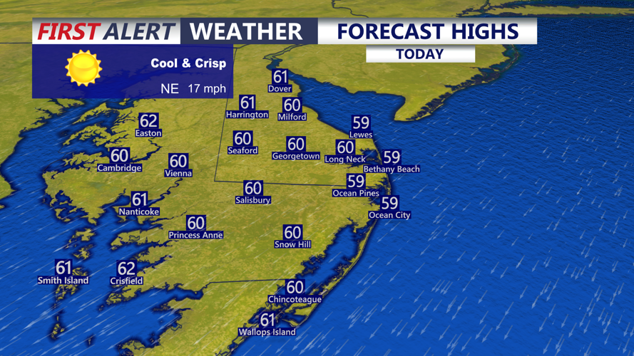
Mostly sunny skies and highs in the upper 50s to around 60. Winds out of the northeast 10 to 15 mph, gusts 25 to 30.

Winds will gust out of the northeast 25 to 35 mph.
Tonight expect mostly clear skies with areas falling into the low to mid 40s.

Highs today in the upper 50s to around 60s, winds will gust out of the northeast 25-30 mph.
Monday will feature partly cloudy skies, pleasant and cool conditions with highs in the low 60s. Temperatures will remain in the low to mid 60s. There is a great deal of uncertainty in the forecast from mid to late week.
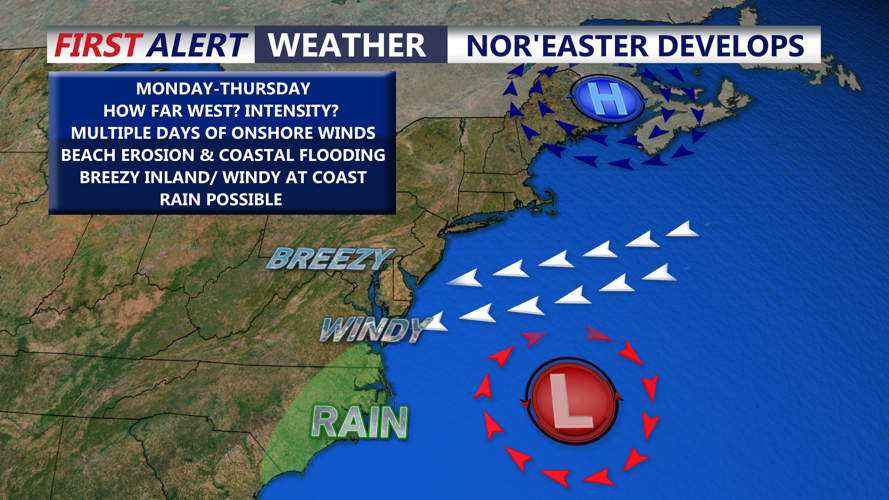
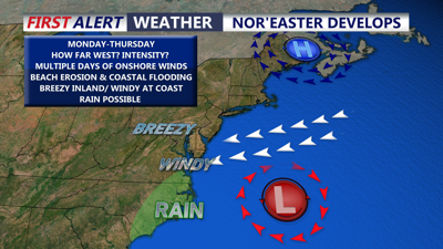
Models are showing a nor'easter developing and strengthening off the southeast coast late tonight into Monday. Depending on the the exact strength and intensity of this system we could see impact on Delmarva.
A Nor'easter will develop off the southeast coast and is expect to spin offshore into the middle part of the week. Still a lot of uncertainty as to how strong and where the system will track. Right now it appears most of the showers/rain will stay offshore but if the low tracks further west we could see showers especially along the coast. Expect breezy conditions inland and windy conditions at the coast beginning Monday and lasting into Thursday. The biggest concern right now looks to be coastal flooding concerns through high tide cycles, beach erosion and high surf. The last thing the coast needs is a persistent onshore flow for multiple days similar to what we had with last months Nor'easter.
