



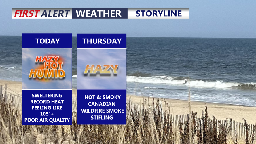

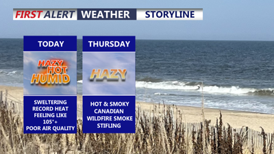
DELMARVA -- Dangerous heat and humidity will peak across Delmarva on Wednesday, with Heat Advisories and Air Quality Alerts in effect across the peninsula.

Record high in Georgetown today is 96 set in 2024 and 1993.
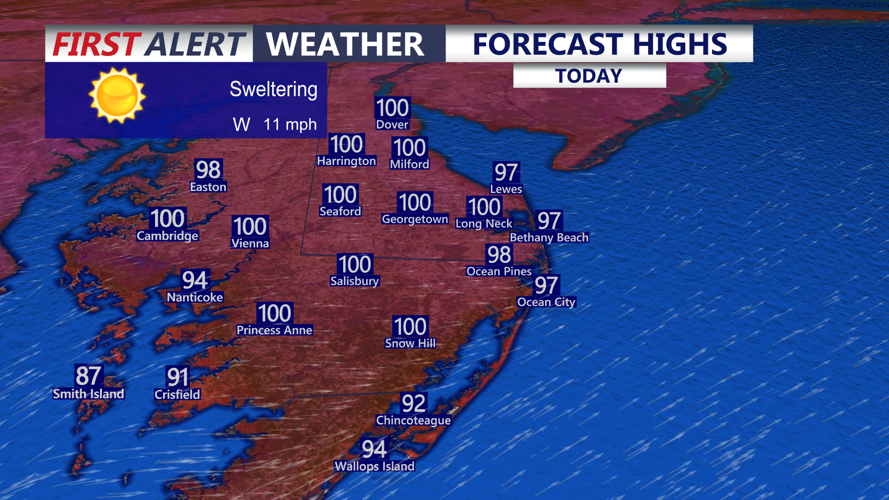
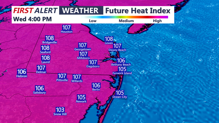
High temperatures will reach the mid-90s to near 100 degrees across most inland communities. Georgetown could challenge its July 15 record high of 96 degrees, set in 1993 and tied in 2024. Heat index values are expected to range from 100 to 109 degrees across much of Delmarva.

Heat indices would range in the 102 to 109 range through the day.
Even the beaches will receive little relief. A westerly wind of 10 to 15 mph will prevent the cooling sea breeze from moving far inland, allowing temperatures along the coast to climb into the mid- to upper 90s. Heat index values at the beaches could reach 100 to 105 degrees.
Anyone spending time outside should take frequent breaks, drink plenty of water and avoid strenuous activity during the hottest part of the afternoon. Children and pets should never be left inside parked vehicles.
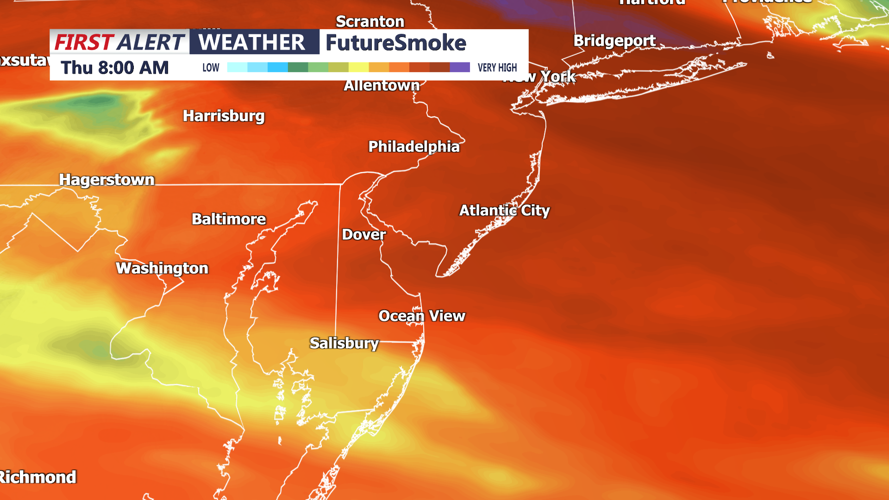
Wednesday night will remain very warm and muggy, with temperatures only falling into the upper 70s. A mainly dry cold front will cross Delmarva overnight and begin carrying smoke from wildfires in western Ontario into the region.

Canadian wildfire smoke pushes through the area late tonight into Thursday leading to hazy smoky conditions.
Smoky and hazy conditions are expected Thursday and Thursday night, with the smoke possibly lingering into Friday or Saturday. The smoke could reduce visibility and worsen air quality, although the severity of the event remains uncertain. Current projections suggest it will not be as significant as the widespread smoke event experienced in June 2023.
Wildfire smoke could limit daytime heating somewhat Thursday, but temperatures are still expected to reach the mid- to upper 90s. Heat index values could again climb into the lower 100s. An isolated thunderstorm is possible late in the day, although most of Delmarva should remain dry.
Some relief from the humidity is expected Friday as drier air moves southward. Temperatures will remain hot, however, with highs in the low to mid-90s. Most of the daytime hours should remain dry before showers and thunderstorms begin increasing Friday night.
The weekend is expected to turn active and unsettled as another cold front moves into Delmarva. Showers and thunderstorms will become more widespread Saturday and could continue Sunday.
Some weekend storms could produce damaging winds and torrential rainfall. Atmospheric moisture levels are expected to climb well above normal, increasing the possibility of localized flash flooding where storms repeatedly move over the same communities.
The timing of the front remains uncertain. Conditions could begin improving later Sunday if the front moves offshore quickly, but showers and thunderstorms may continue into Monday if it stalls near Delmarva.
