


DELMARVA - We will experience mild conditions Tuesday morning, with low temperatures in the 40s rising into the upper 50s by midday. A persistent southerly flow will keep skies overcast, and fog will likely reduce visibility across Coastal Sussex County and Ocean City. While the day begins mostly dry, the approach of a warm front by late afternoon could bring light rain showers, particularly to areas near the coast. Any precipitation will remain scattered, with a 30-50% chance of rain into the evening.
Tuesday Night: Rain Intensifies as the Next System Arrives
As low pressure lifts northeastward from the Ohio Valley Tuesday night, rain will become steadier and more widespread across Delmarva. Temperatures will hold steady or rise slightly overnight, reaching the upper 50s by daybreak Wednesday. Residents in Lewes and Ocean City should prepare for a wet night, with rain totals quickly accumulating. Winds will also pick up, with gusts reaching 20-30 mph along the coast.
Wednesday: Heavy Rain, Windy Conditions, and Possible Thunderstorms
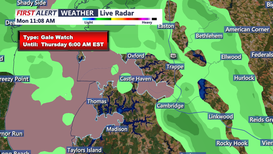
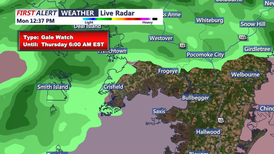
Wednesday will be a day of active weather, as a potent low-pressure system intensifies over the region. Heavy rain, strong winds, and even isolated thunderstorms are expected. Rainfall totals could reach 1.5 to 2 inches in Coastal Sussex County, with some areas locally exceeding that amount. Gusty southerly winds, driven by a powerful low-level jet, will reach 30 mph or higher, making travel hazardous, particularly in coastal communities. The rain will taper off by late Wednesday night as the system departs to the northeast.
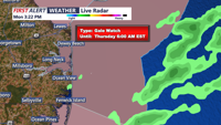
Thursday: A Cold Blast Arrives
Behind the departing low, a strong cold front will sweep through the region early Thursday morning, ushering in significantly colder air. Temperatures will plummet from the 60s on Wednesday to highs only in the 30s on Thursday. Gusty westerly winds of 15-20 mph, with gusts up to 35 mph, will make it feel even colder. Despite the sunshine returning by late morning, it will be a brisk and blustery day for Delmarva.
This midweek system will deliver the most rainfall the area has seen since early summer, bringing relief to dry conditions but also raising concerns for localized flooding and wind impacts along the coast. By Thursday night, high pressure will begin to build in, setting the stage for a calmer and colder end to the week.