


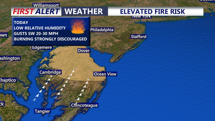


DELMARVA — Dry and breezy weather will keep fire concerns elevated across Sussex County from late Monday evening through Tuesday evening, especially inland, where lower humidity and gusty southwest winds could help fires spread quickly if they start.
Skies will remain mostly clear Monday night, with temperatures falling into the mid-50s. No rain is expected, and southwest winds will continue at times, keeping fine fuels such as grasses, brush and leaf litter dry across much of the county. The National Weather Service fire weather forecast calls for no precipitation Monday night or Tuesday, with inland Sussex dropping to about 56 degrees Monday night and climbing to the lower 80s Tuesday.
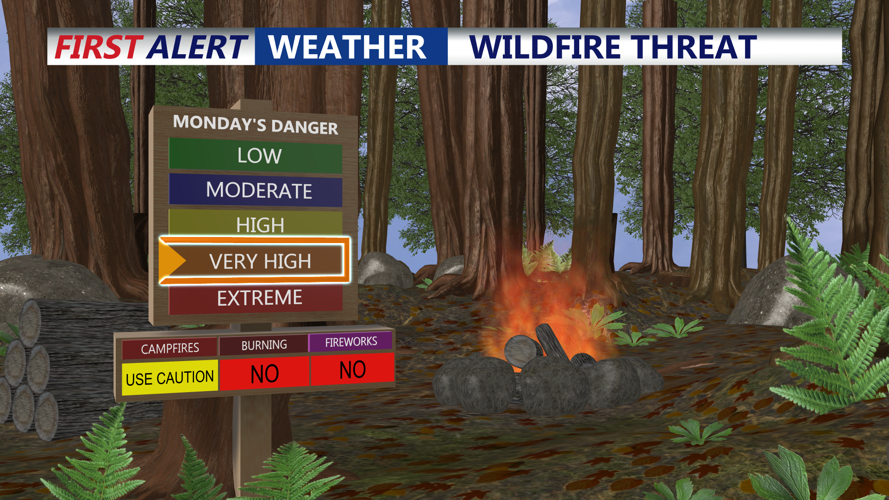
Tuesday will bring the greater fire weather concern. Southwest winds are expected to increase to 10 to 20 mph, with gusts of 25 to 35 mph, while afternoon relative humidity falls to around 25 to 30 percent in many areas. Those conditions are not necessarily enough for a widespread critical fire weather event, but they do support a limited to elevated risk for rapid fire spread where fuels are dry.
Inland areas, including Georgetown, will see the driest air, with minimum relative humidity near 29 percent Tuesday and southwest gusts near 31 mph later in the day. Along the Delaware beaches, humidity will be higher, but winds may gust over 30 mph, which could still fan any fires that ignite.
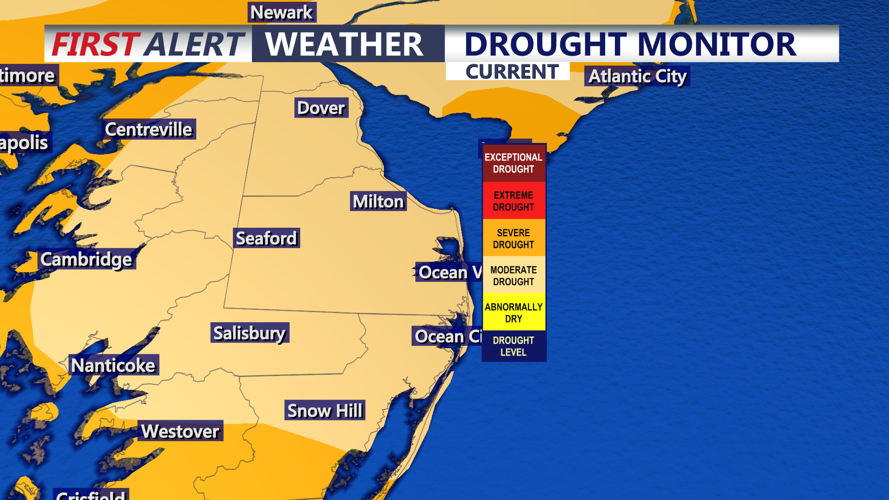
The fire risk is being amplified by ongoing dry conditions. The Delaware Climate Office said precipitation has lagged statewide for eight straight months, with an 11.48-inch deficit dating to August. Soil moisture across Delaware was reported in the 35 to 45 percent range, below the fifth percentile for this time of year, and stream flows in Kent and Sussex counties remain mostly below normal.
Rain chances increase by midweek as a cold front and additional low pressure move through the region. Showers may begin Wednesday, but the more meaningful relief for Sussex County is expected Wednesday night into Thursday, when periods of rain could help ease the immediate fire danger. The rain should be beneficial, though longer-term drought recovery would require a more sustained wet pattern.
Another weak system could bring showers Saturday, but no major impacts are expected at this time.
