



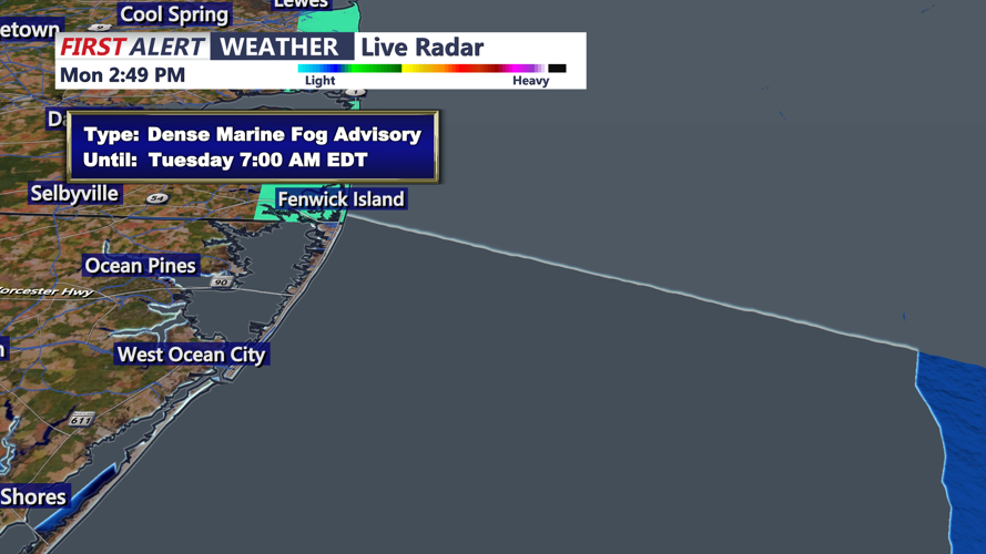
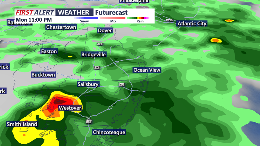
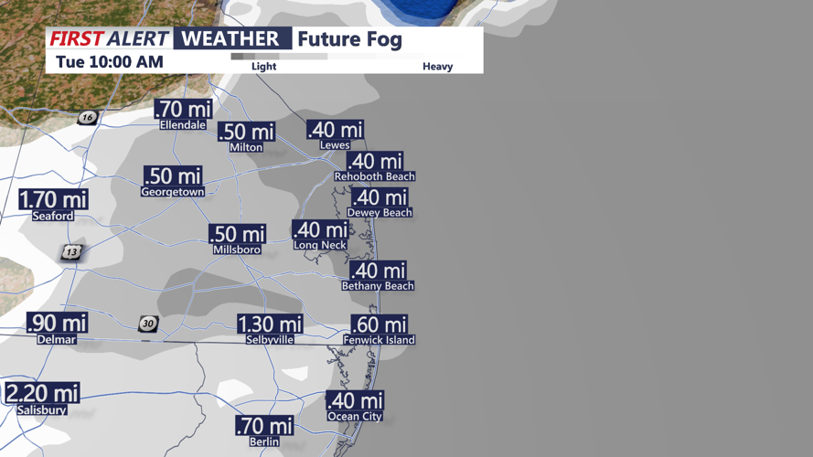

DELMARVA - Areas of fog may slow the start of Tuesday across Sussex County as unsettled weather continues near Delmarva.
Low clouds and reduced visibility are possible early Tuesday morning, especially where fog becomes locally dense. Conditions should gradually improve through the morning as the stalled boundary shifts farther south of the region.
Most of Tuesday is expected to be drier than Monday, though a few showers remain possible across Delmarva. Rain chances will generally stay low, around 10% to 30%, with some filtered sunshine possible during the day.
High temperatures Tuesday are expected to reach the upper 70s to low 80s. Winds should remain light, and skies will likely stay partly to mostly cloudy at times.
By Tuesday night into early Wednesday morning, clouds may increase again as another disturbance approaches the stalled boundary. Scattered showers could return, with patchy fog or lower visibility possible overnight.
More unsettled weather is possible Wednesday before a cold front helps push the wet pattern south of the area. Drier and more seasonable weather is expected to return Thursday and continue into the weekend.
