


DELMARVA — After a light dusting of snow overnight, Delmarva residents awoke Wednesday to frigid conditions that will persist through early Thursday. Though the snow threat has moved offshore, the Delaware coast remains locked in below-freezing temperatures, part of a broader pattern of Arctic air expected to deepen in the coming days.
Light snow that developed Tuesday evening across Delmarva has tapered off, leaving behind minor accumulations—generally less than half an inch. Slick conditions may remain on untreated roads early Wednesday, but as skies begin to clear, attention now turns to a prolonged period of unseasonable cold.
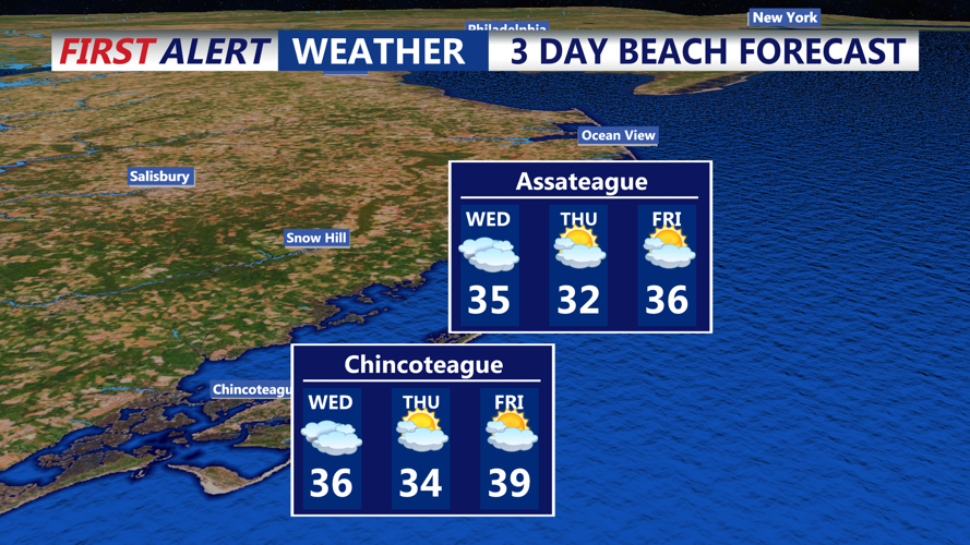
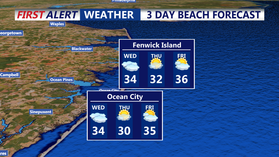
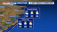
Highs on Wednesday will struggle to reach the lower 30s, with brisk northwest breezes making it feel even colder. Overnight lows heading into Thursday morning are expected to dip into the low teens in inland areas and near 20 along the immediate coast.
The air mass over Sussex County remains well below seasonal norms. Average highs for early February typically range in the low 40s, but current temperatures are running 10 to 15 degrees colder. The chilly trend will persist through Wednesday night and into Thursday, with only modest warming expected.
Despite the sunshine during the day, overnight lows will again fall into the teens Wednesday night. While winds will be lighter than earlier in the week, any breeze will be enough to bring wind chill values into the single digits overnight.
The frigid weather is just a preview of what’s coming later in the week. Forecast models continue to show an arctic cold front pushing through the region Friday night, bringing with it another burst of snow—possibly in the form of snow squalls—and dangerously low wind chills. Gusty winds behind the front could push apparent temperatures well below zero by Saturday morning.
Wind Advisories and Wind Chill Warnings may be issued later this week as forecasters gain more confidence in timing and intensity. Officials are urging residents to begin winter safety preparations now, especially for the bitter conditions expected this weekend.