


DELMARVA - Sussex County residents can expect a noticeable shift in weather conditions starting Wednesday night, as high pressure begins building eastward across the Mid-Atlantic. The result will be clearing skies and dropping temperatures, with the chilliest conditions expected overnight.
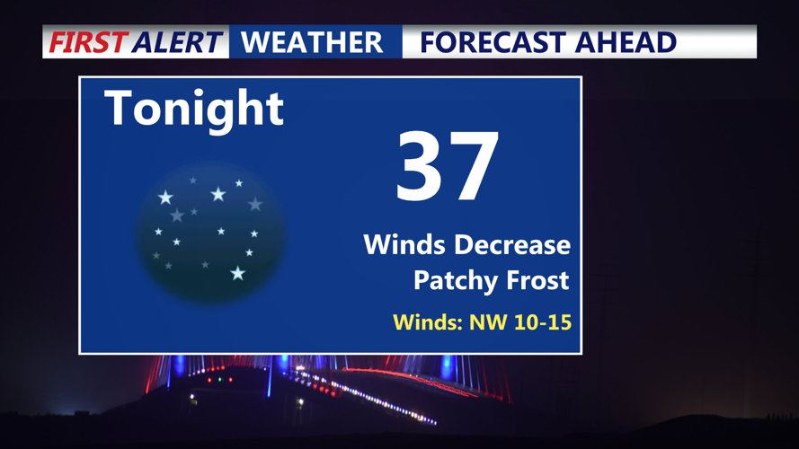
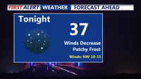
Wednesday night: Patchy freeze possible
Skies will clear quickly after sunset Wednesday, thanks to the departure of an upper-level trough and increasing high pressure influence. This, coupled with light winds and low humidity, sets the stage for radiational cooling. Overnight lows are forecast to dip to freezing or just below in more sheltered inland areas. A frost advisory is in effect, though it may function more as a “patchy freeze warning,” as frost formation is uncertain due to lingering wind and slightly elevated dew points. Gardeners and those with sensitive plants should take precautions.
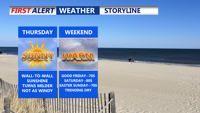
Thursday: Sunny but still breezy
Thursday will see a dramatic improvement in conditions, with widespread sunshine and moderating temperatures. Highs are expected to climb into the lower 60s for much of Sussex County, a 5 to 10 degree increase from Wednesday. However, gusty west-northwest winds will persist, reaching 20 to 30 mph at times. These winds, while not as intense as Wednesday’s, will still make the air feel cool, particularly in open areas.
The fair weather won’t last indefinitely. High pressure will shift offshore Thursday night into Friday, allowing return flow from the south to set up across the East Coast. While Friday looks mostly dry, rain chances increase by Saturday as a cold front approaches. That front is forecast to stall to the south and return northward early next week as part of an occluded system, bringing renewed chances of rain by Monday and Tuesday. Brief high pressure may return midweek.