



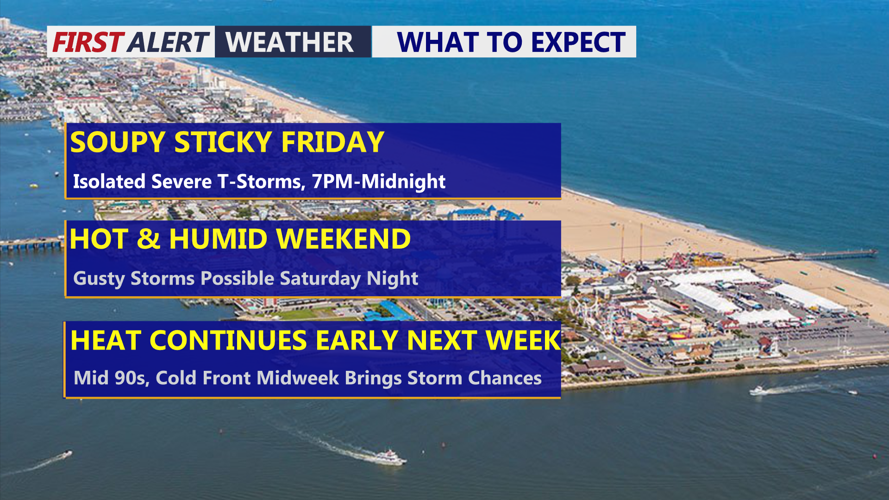



DELMARVA - Hot and very humid weather will continue across coastal Delaware and Maryland from late Friday night through Saturday evening, with another chance for thunderstorms bringing localized heavy rainfall and strong wind gusts.
Conditions should remain warm and muggy overnight from Sussex County south through the Ocean City area as a persistent flow of very warm, moisture-rich air remains in place across the Mid-Atlantic.
The overall weather pattern will change little Saturday, with high humidity continuing through the day. While thunderstorm coverage is expected to be lower than Friday, isolated showers and thunderstorms could develop during the late afternoon and evening.
Any stronger storms that form could produce locally damaging wind gusts and torrential rainfall. The Weather Prediction Center has the region in a marginal risk for excessive rainfall Saturday, meaning isolated flash flooding is possible, particularly in poor-drainage and flood-prone locations.
Atmospheric moisture is expected to be slightly lower Saturday than Friday, and there will be less overall forcing to trigger storms. That should keep thunderstorms more isolated rather than widespread.
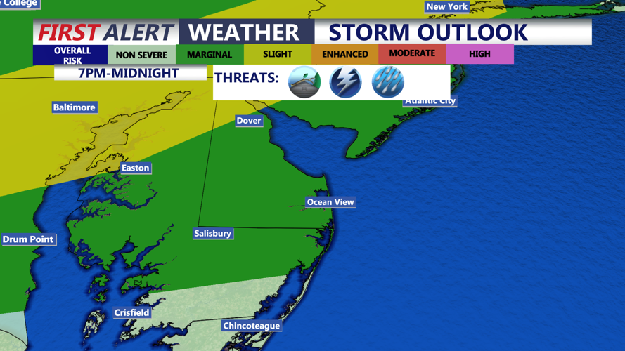
Still, the atmosphere is expected to remain unstable enough for a few storms to become strong. The Storm Prediction Center has placed most of the region in a marginal risk for severe thunderstorms Saturday, with damaging wind gusts the primary concern.
Those heading to beaches, boardwalks, outdoor events or waterways in Sussex County, Delaware, and the Ocean City, Maryland, area should remain alert for rapidly changing weather late Saturday afternoon and evening. Heavy rainfall could quickly reduce visibility and create ponding on roads.
The humid pattern will continue beyond Saturday. A weak cold front is expected to pass through Sunday and could bring a brief reduction in humidity, although temperatures will remain warm. Hotter and more humid weather is forecast to return Monday and Tuesday, along with additional chances for thunderstorms.
