


DELMARVA - The shortwaves influencing tonight’s weather will have moved northeast by Tuesday morning, but the humid air mass will linger over Delmarva. Expect fewer high and mid-level clouds, allowing for more daytime heating and higher temperatures compared to today.
Tuesday:
- Weather Conditions: The day will start with fewer clouds, leading to more sunshine and higher daytime temperatures.
- Temperatures: Anticipate warmer conditions due to increased daytime heating.
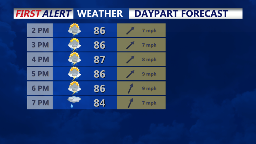
- Scattered Storms: While there will be some scattered convection across the region, the probability of precipitation (pops) will be lower than today, with only chance pops expected in the afternoon.
- Rain and Thunderstorms: Any thunderstorms that do develop will primarily pose a threat of heavy rain.
Tuesday Night Through Wednesday Night:
A mid-level trough will intensify over the Great Lakes, while high pressure remains off the Atlantic Coast. This setup will create a south to southwest flow throughout the atmosphere, bringing deep moisture into Delmarva. This will result in humid conditions at the surface and the potential for heavy rain with any showers and thunderstorms.
- Tuesday Night: Expect widespread showers and thunderstorms as a mid-level impulse arrives. The abundant moisture in the atmosphere will enhance the potential for stronger convection and locally heavy rain.
Stay informed of the latest weather updates, and be prepared for humid conditions and potential heavy rain through Tuesday night.