



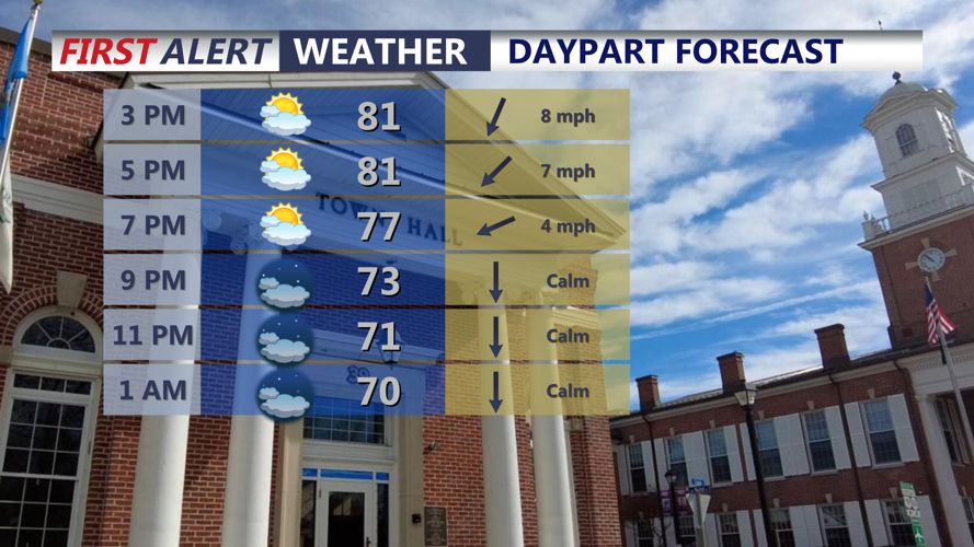

DELMARVA -- Pleasant and seasonable Friday as humidity slowly falls through the evening, highs today in the low to mid 80s as winds shift out of the north 5 to 10 mph behind the front. Dry evening for Friday night football through the peninsula.

Partly cloudy skies, highs in the low to mid 80s, humidity will slowly fall this evening into the overnight.
Tonight will have partly to mostly cloudy skies falling into the mid 60s.
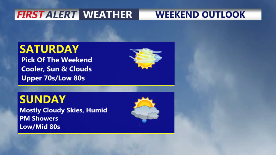
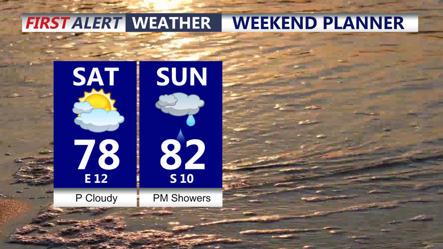
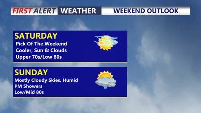
Our weekend starts off on a cooler dry note, Saturday the pick of the weekend, with a mix of sun and clouds and highs in the upper 70s to low 80s thanks to an east northeast wind 10 to 15 mph.

Cool dry start to the weekend, showers develop late Sunday afternoon into Sunday evening.
Warm front will lift through the area into Sunday, pulling humidity back, highs Sunday in the low 80s. Showers develop late afternoon into the evening hours as a cold front arrives, that front will stall out over the region into early next week.
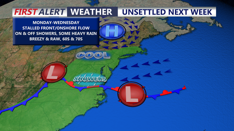
Unsettled conditions Monday through Wednesday, perhaps lingering into Thursday as well. For Monday expect cloudy skies, spotty showers and highs in the mid to upper 70s.

Stalled front and onshore flow will bring on and off showers, clouds and cool temperatures for most of next week.
Onshore flow will develop and some moderate to heavy rainfall is possible at times Tuesday and Wednesday. A coastal low could potentially developing bring strong winds to the coast. With the clouds rain and persistent onshore flow temperatures will stay in the upper 60s and low 70s. Not expecting a tremendous amount of rain despite multiple days of unsettled weather, looking at 1 to 2 inches from late Sunday-Wednesday.
