


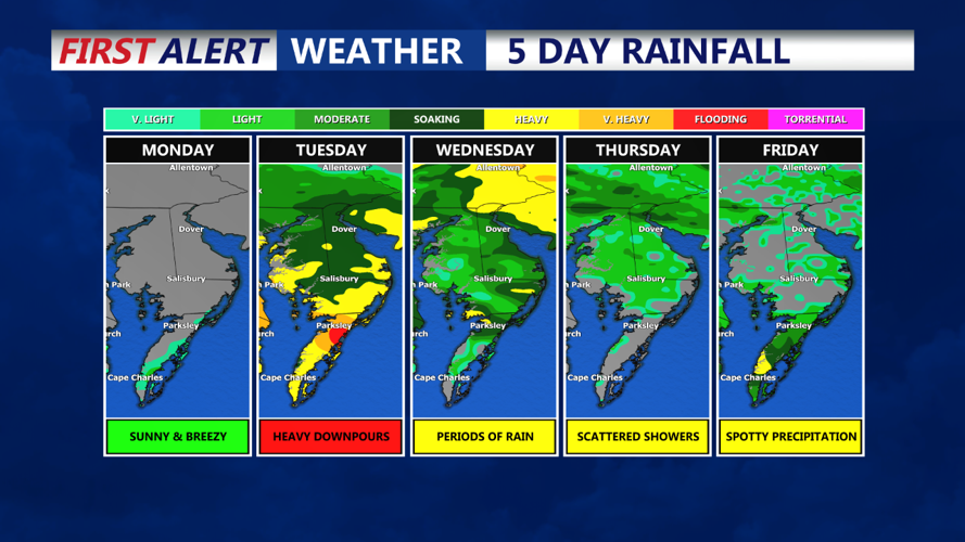


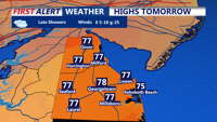

DELMARVA - We experience a quiet start to the week as high pressure off the coast of Cape Cod gradually moves offshore. Upper-level ridging will break down and shift east, allowing an area of low pressure near the Carolinas to move northward. Expect increasing clouds on Monday with temperatures reaching the mid to upper 70s.
Rain chances increase Monday night as a non-tropical low-pressure system forms along a stalled boundary off the southeastern U.S. coast. This system, over the Gulf Stream, has a 50% chance of developing into a tropical or subtropical storm according to the National Hurricane Center. As it moves inland near the Carolinas, its path could take it near the Delmarva coast by Tuesday night, bringing tropical moisture into the area as early as Tuesday morning.
Tuesday afternoon and evening are expected to be the wettest periods, with heavy rain likely south of Philadelphia. There is potential for embedded thunderstorms, but the primary concern will be tropical-like downpours as precipitable water values surge toward 2 inches.
Current forecasts suggest rainfall amounts of 1-2 inches from Wilmington and Atlantic City southward through Tuesday night. Areas around Philadelphia could see 0.5 to 1 inch, with gradually lesser amounts further north. The Weather Prediction Center has placed the entire region under a marginal risk for excessive rainfall due to variability in the system's path and the recent dry conditions. If the heaviest rain avoids urban areas, flooding risks should remain minimal.
The tropical air mass will bring a muggy feel Monday and Tuesday nights, with overnight lows only dropping into the 60s. Highs on Tuesday will be in the mid to upper 70s.
