



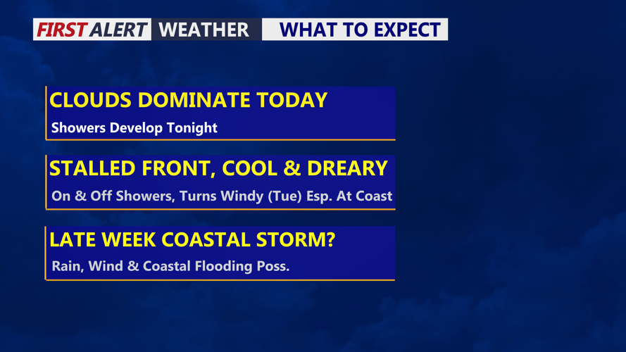

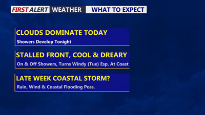
DELMARVA -- Gloomy Monday with increasing chances for showers tonight into Tuesday. A front will stall to our south through midweek bringing on and off rain that could be heavy at times. Looking at cloudy skies with highs in the low to mid 70s, onshore northeast winds will gust to 25 mph through the evening.

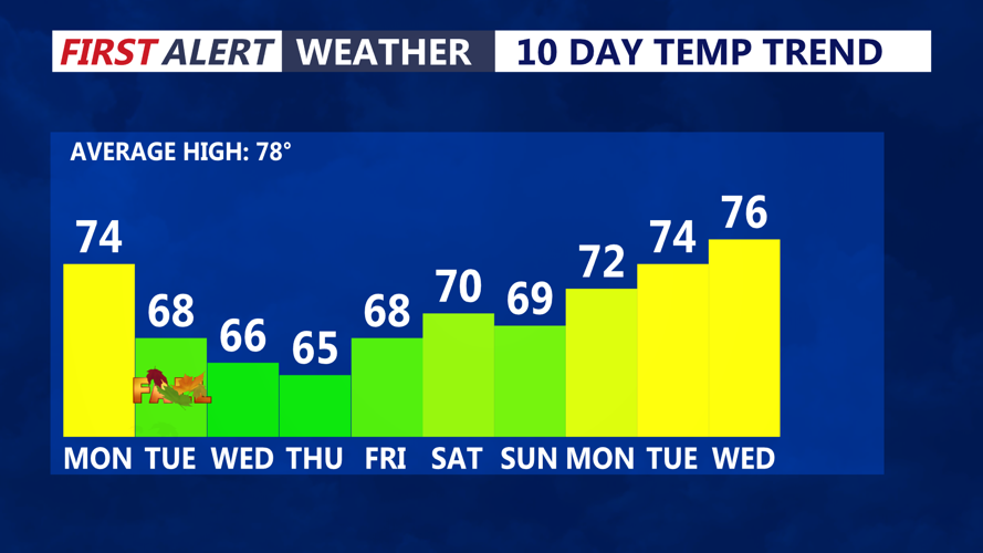
Big cool down this week, temperatures will be about 10 to 15 degrees below normal.
Tonight looking at cloudy skies with spotty showers and drizzle, temperatures will fall into the low to mid 60s.
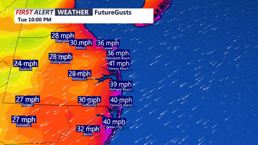
Tuesday will feature damp, dreary conditions with on and off showers, a rumble of thunder can't be ruled out. Not expecting anything severe. Steadies rain will be Tuesday late in the day through Wednesday. Winds will pick up out of the northeast gusting to 40 mph. Highs will struggle to get out of the upper 60s. Fall arrives at 8:05 PM Tuesday.

Winds will be out of the northeast gusting to 40 mph, with some higher gusts into Wednesday.
Coastal flooding concerns will begin to increase late Tuesday through the end of the week with persistent onshore flow, high tide, full moon Saturday and the potential of a developing coastal low.
Wednesday will feature scattered showers especially the first half of the day, cloudy skies with winds continuing out of the northeast 40 to 50 mph at the beaches, 35 to 40 mph inland. Rain should end late in the day through Thursday morning. Rainfall totals will be on the order of one to two inches.
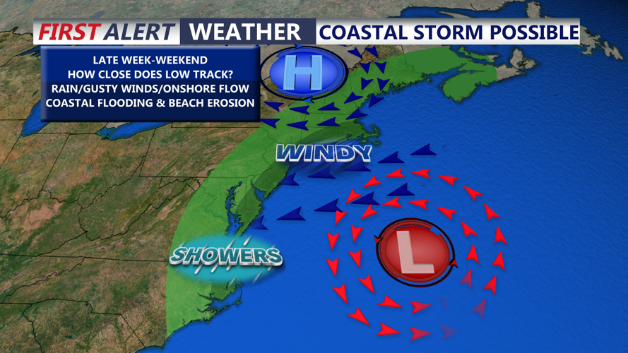
Uncertainty lies late in the week through the weekend with a developing coastal low. An area of low pressure will move out of the Ohio Valley off the Eastern Seaboard developing into a strengthening coastal low. How strong and how close the low gets to the coast will determine the severity of impacts. The closer scenario would bring heavy rain, high winds and coastal flooding. A track further east would bring winds and the coast and some coastal flooding concerns.

A coastal low will develop late week, how it impacts the region into the weekend remains uncertain.
Big weekend in Ocean City with Oceans Calling. Right now temperatures look to be in the upper 60s to low 70s through the weekend with mostly cloudy skies and onshore flow with all eyes on the exact track of the coastal low.
